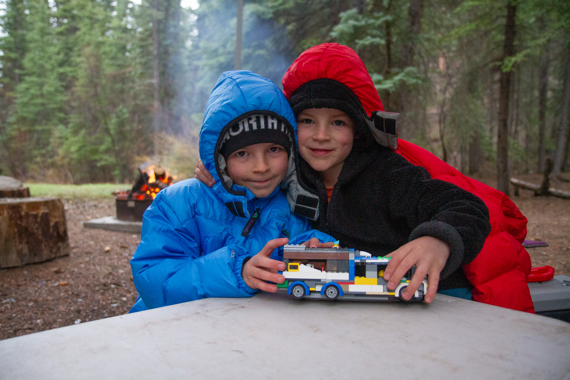
Once again, it has taken a long time for me to finally post this trip report. This is a post about a trip we took during the first week of May… Highlights included lots of beautiful campsites, copious fantastic thunderstorms, the boy’s first real slot canyoneering, super remote roadtripping, and my three year old touching a rattlesnake—read on for all the details.
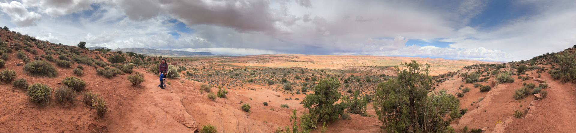
Last year’s Utah adventure was so successful, we decided to do a reprise with slight modifications. Over ten days we drove roads and visited areas to which I have never been, finding a few beautiful new camping destinations in the process. Our route is documented in the map lower down, and the GPS file is available for download at the bottom of this post. I highly recommend our route for those with two weeks of vacation, a capable 4WD vehicle, and sufficient confidence to drive VERY remote roads.
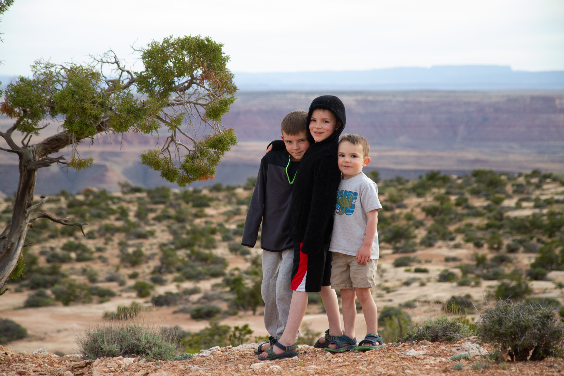
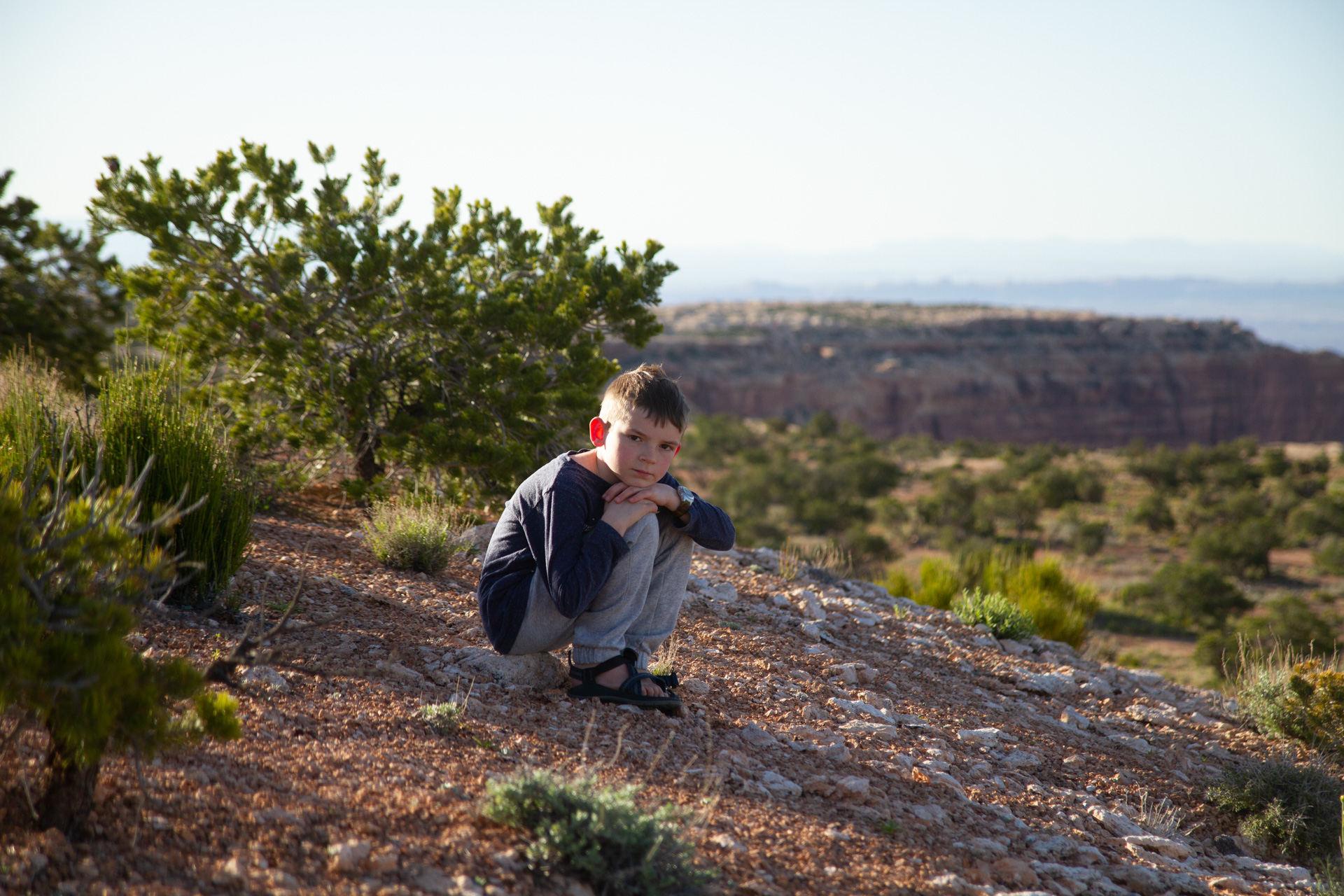
We kicked off the trip camping on top of Muley Point again, which is becoming our standard first night for Utah destinations. I believe the boys found some sort of ancient fossil; it was sitting right in the middle of a bumpy dirt side road, clearly unconnected to anything. When planning for this trip I was joking with the boys about going dinosaur fossil hunting on this trip, and I had googled “how to identify dinosaur fossils” and other such, so that we would have a wonderful pretense for wandering around the desert with no particular destination… I hadn’t entertained the idea that we would ACTUALLY find any such thing, certainly not during our first few hours in the state. For all I know, it’s an ancient cow fossil, but it’s still pretty cool.
Muley Point, as always, treated us to a fantastic sunset and top notch views. That place has plenty of space and always delivers a special camping experience.
In the morning we were thinking of hiking out to the Moon House ruins. The Cedar Mesa plateau is just Northeast of Muley point, and contains the most culturally significant portion of Bear’s Ears National Monument. There are tons of Anasazi ruins and artifacts in the area, and access is controlled through the Kane Gulch ranger station, located on the highway to the north. We visited the ranger station in the morning with hopes of scoring five of the half-dozen permits that are available only on a walk-in basis. However, we were typically lazy in the morning, lounging around camp drinking a second coffee and having some breakfast, so we missed out on getting permits. That was fine, we weren’t banking on it anyway and there was plenty of adventure down the road yet. Next time.
Instead, we continued on to the North Wash area, which has many great canyoneering adventures. The boys and I walked a short way up a dinky little canyon called Lucky Charms. It was a nice walk to get the boys some exercise out of the car, but it wasn’t anything special as far as canyons go, barely worth getting out of the car for it.

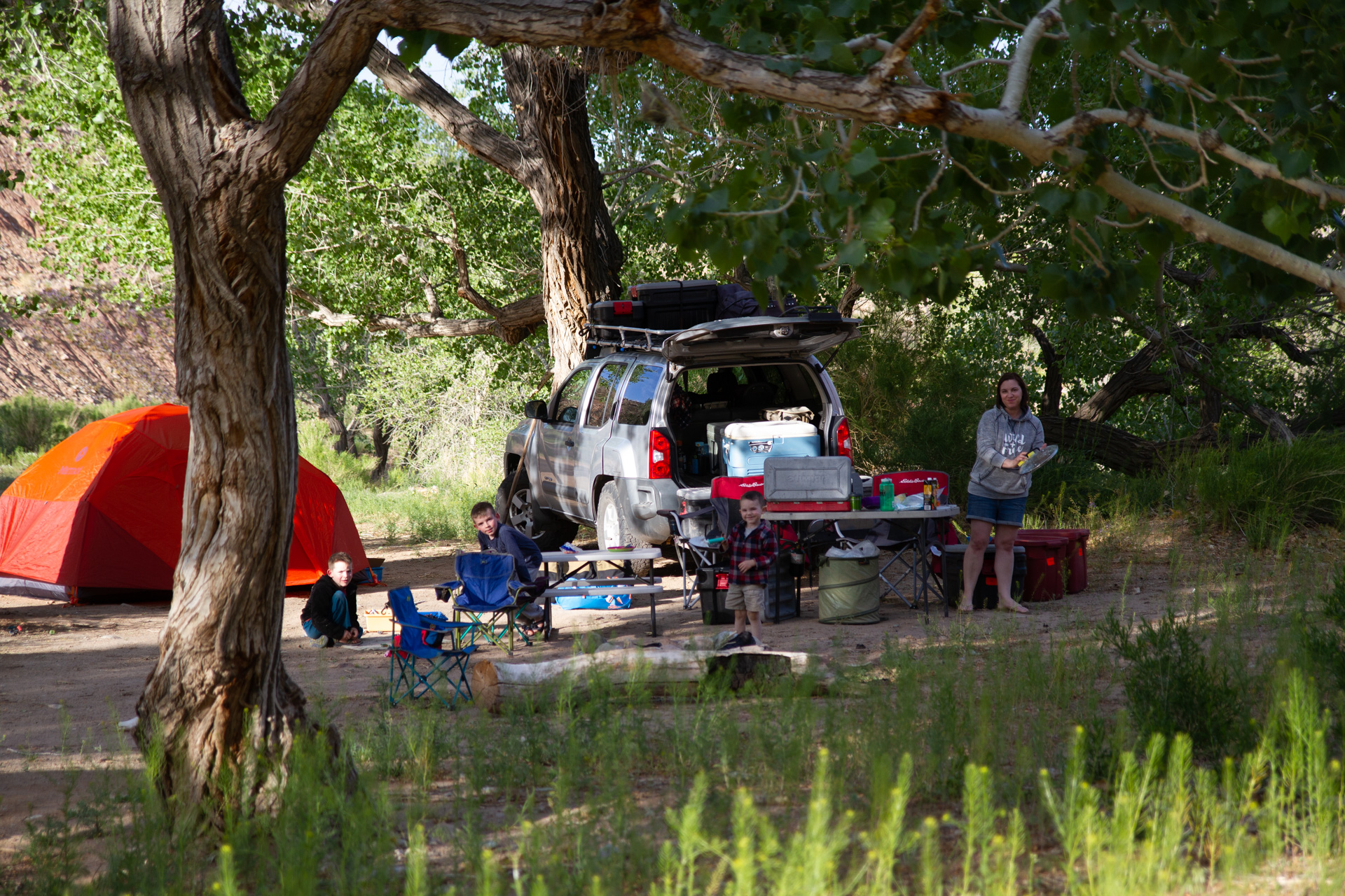
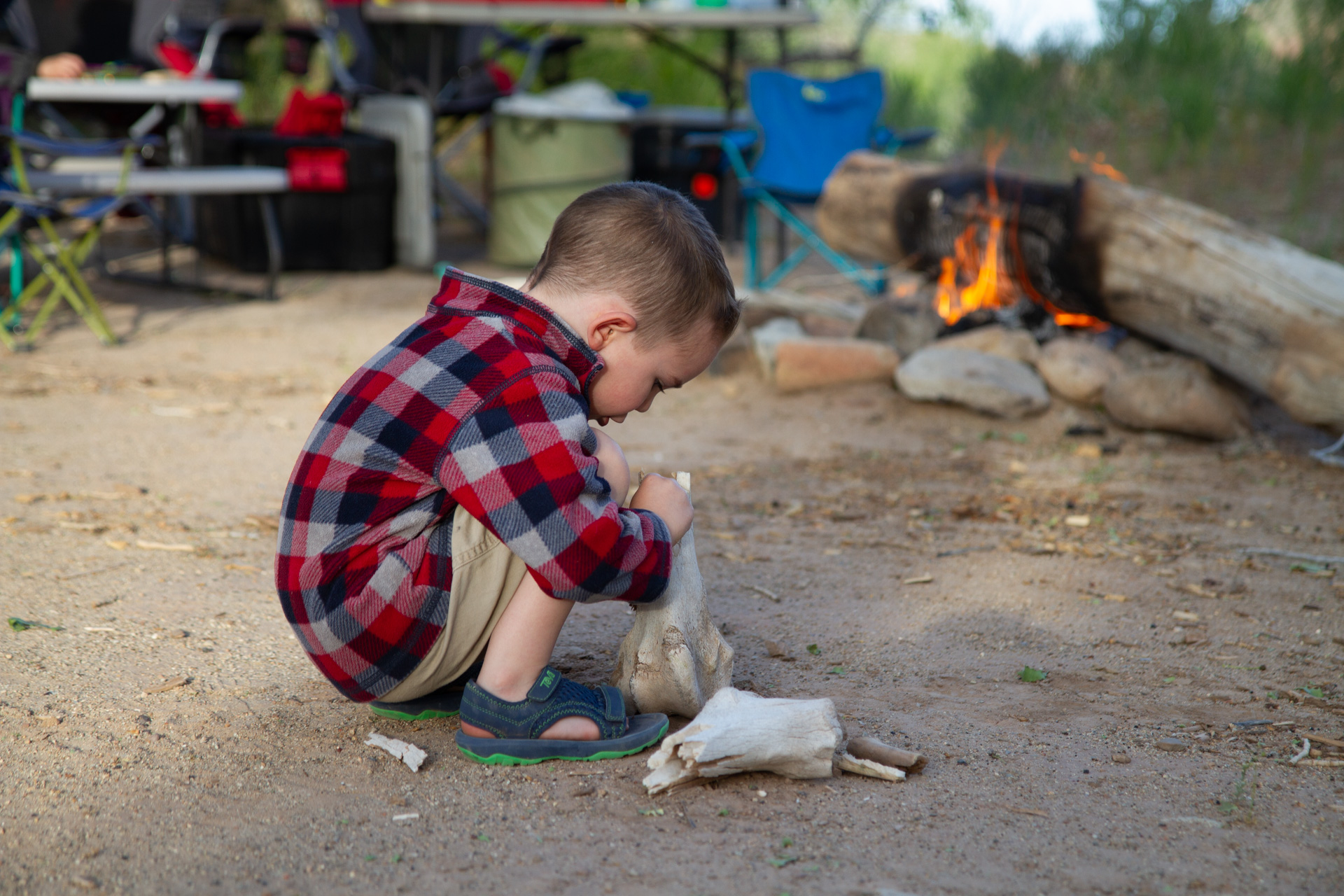
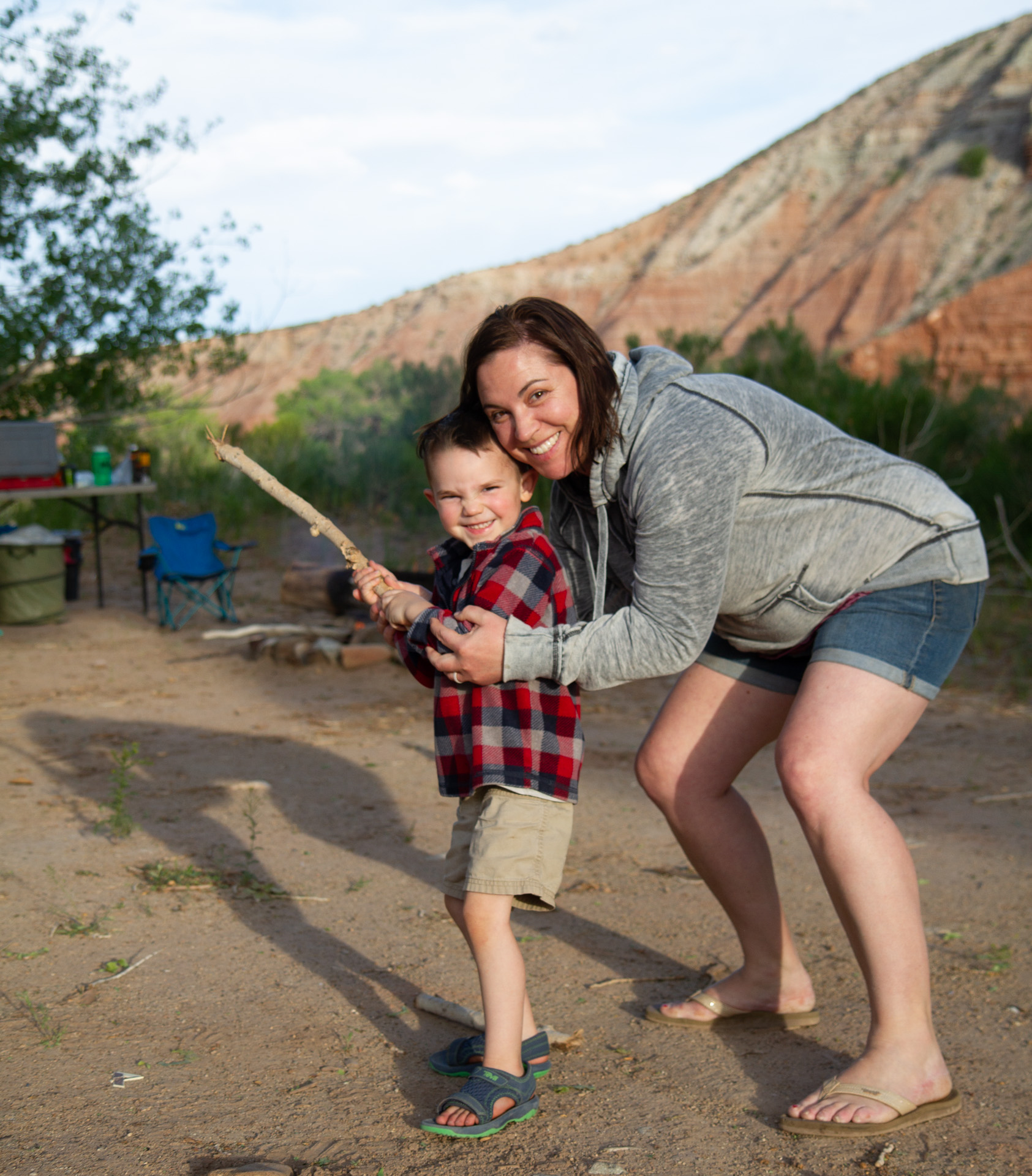
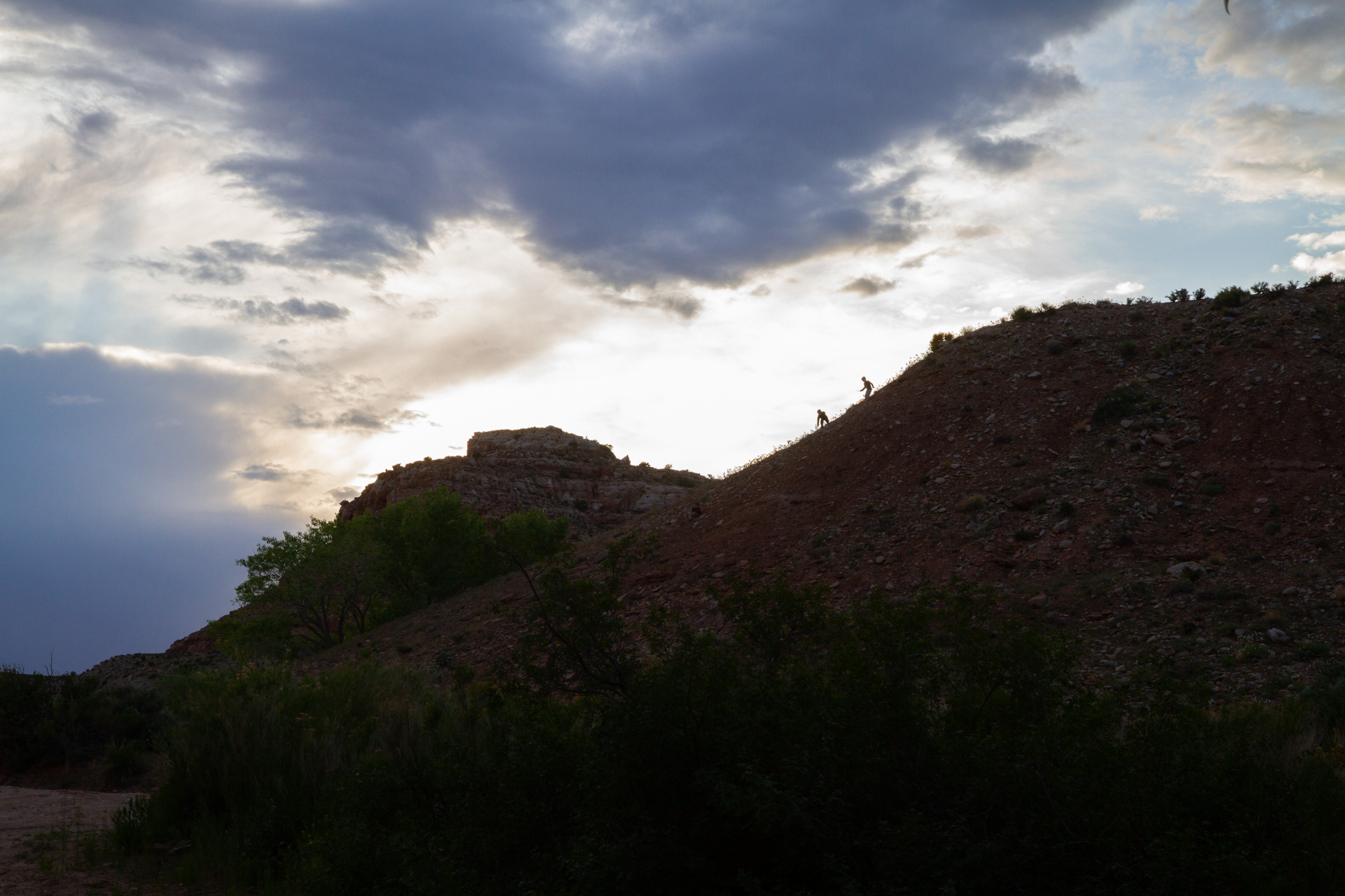
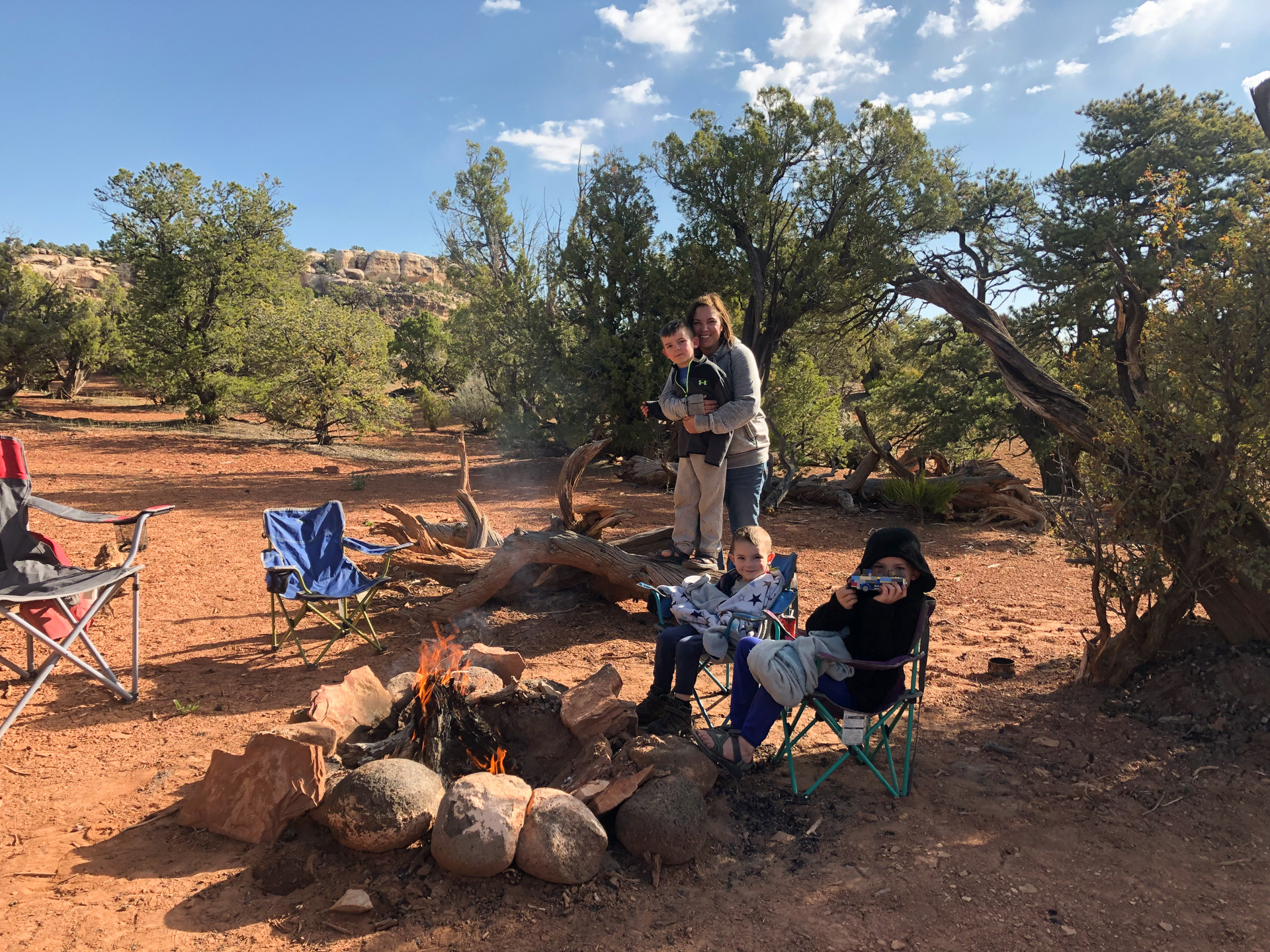
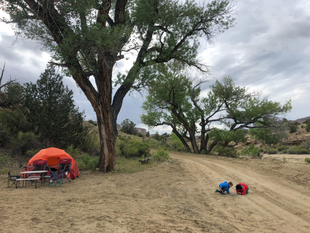
For the night, we found a spectacular site a few miles down a dirt road. Not a car or person anywhere to be found, and we camped in a small canyon under huge cottonwoods next to a noisy little stream. The boys ascended a steep dirt slope, in an apparent attempt to simultaneously bruise themselves and get lost because that’s what’s fun (parental involvement became necessary).

The next morning we were inundated with caterpillars falling off the cottonwood above us–thousands and thousands of caterpillars all over everything. We were finding them stowed away in our stuff in random places unto the very last day of the trip.
We drove to Bullfrog Marina at Lake Powell to spend the day on the beach and in the water. In the afternoon we drove out to the primitive camping locations and found a totally isolated spot on a short bluff overlooking the lake.
The next day we drove a new (to us) road that was spectacular–the Burr Trail Road, which departs from the vicinity of Bullfrog Marina and heads west across the desert, a shortcut 🙂 to Boulder, UT, without driving far to the north through Hanksville. Along the way are some stupendous switchbacks passing up through Capitol Reef.
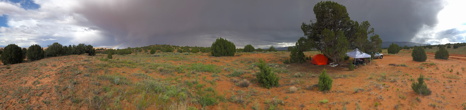
We found a remote spot next to some hills that I later found labelled on the map as “Studhorse peaks”. The site was situated near some old cowboy-looking ruins, among junipers and red sand hillsides. Quite scenic, one of my favorite spots of the trip.

We finished the Burr Trail to Boulder the following day. Again, we were surprised by how nice the drive was, particularly where the road descends a decent-sized canyon system and crosses the stream in the bottom of the valley, which was filled with cottonwoods and a flowing stream. In Boulder, we imitated the previous year and once again got lunch at the food truck at the park/museum in town.
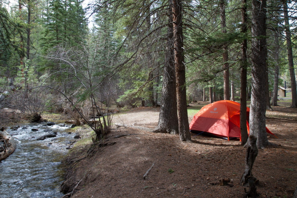
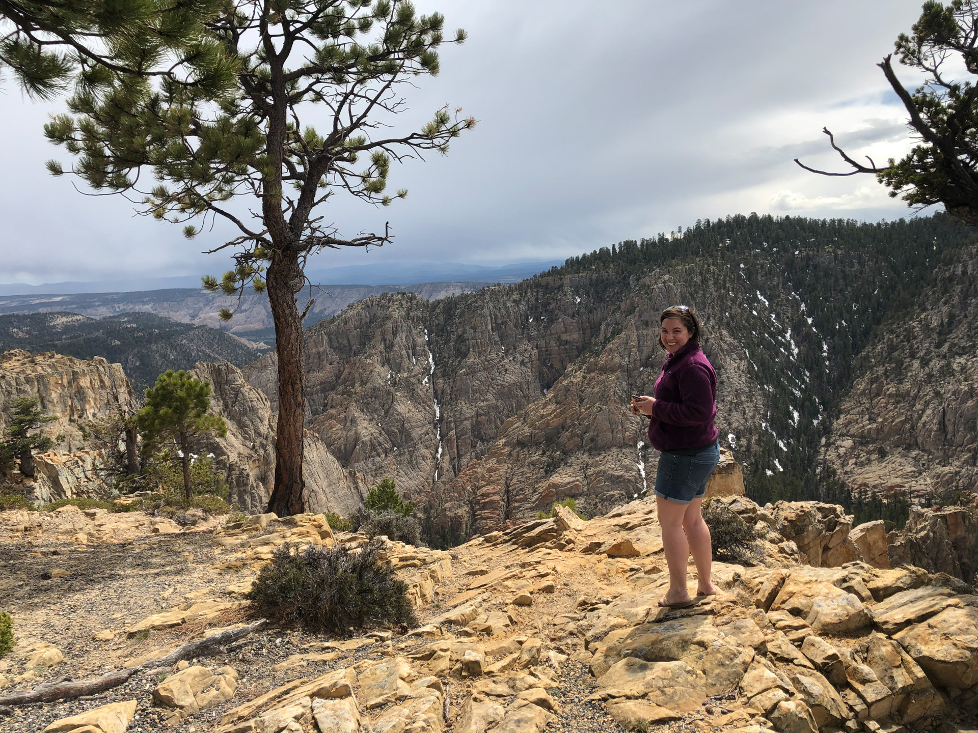
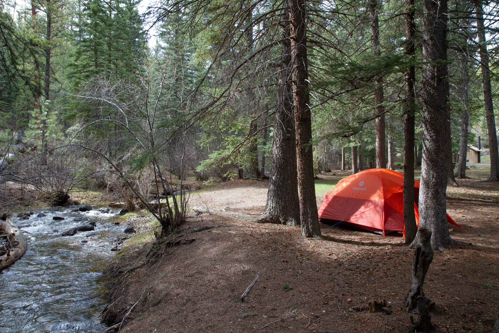
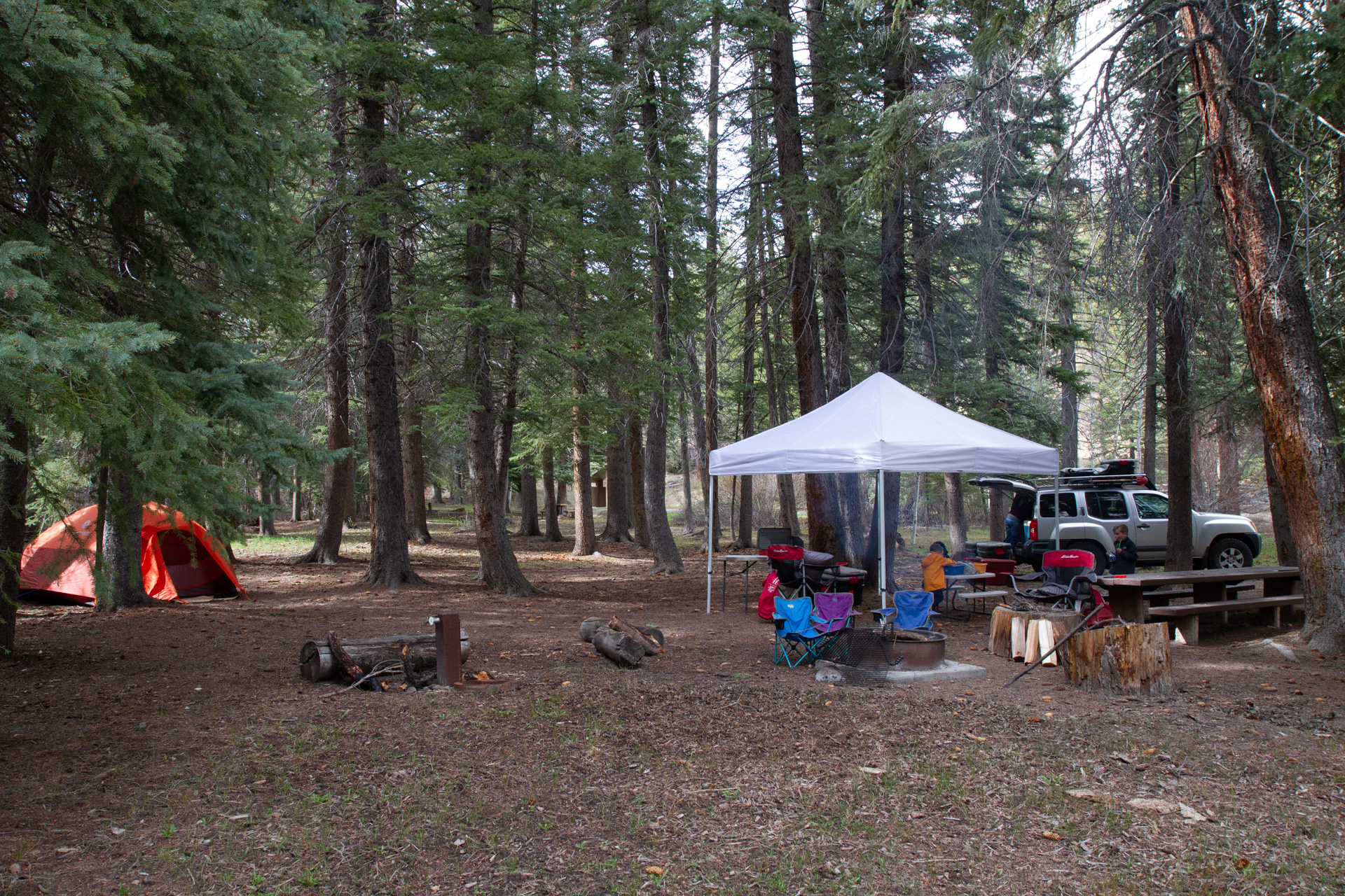
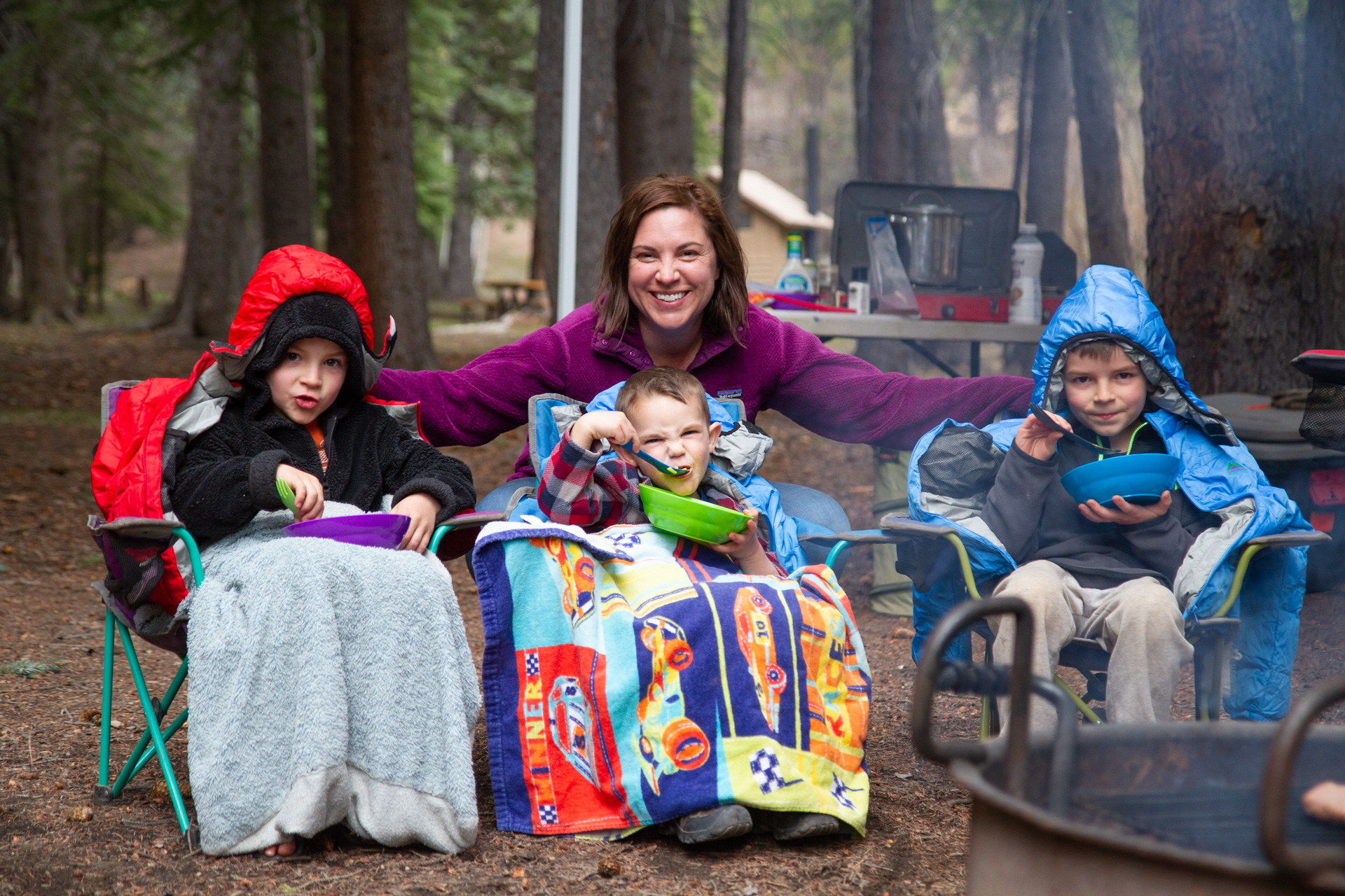
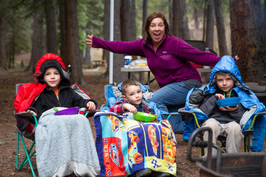
We continued out of town to the West on another new (to us) road, the Devil’s Backbone. The road makes it up above 10,000ft, and we saw snow patches remaining in places. The narrow bridge across the Devil’s Backbone is admittedly pretty impressive. We ended up camping in a proper campground that night, which is very abnormal for us. But the campground was right next to a stream, there were only five sites, and we were the only ones in the whole place. We didn’t see a single vehicle drive by the whole time we were there. We spent a beautiful night next to the stream, while it rained all night, and I slept great. Not just rained. Sleeted a bit too, got down into the 30’s, cold and super cozy. It was really wonderful.
The next day I was a bit concerned about the road to Escalante, as everything was soaked and the clay roads were slick as ice. There were a few spots where we slid around a bit, but it turned out to be just fine. We drove to the town of Escalante and returned to the gear store/restaurant that we enjoyed the previous year. Escalante is a neat little town, and a necessary stop for resupplying on ice, gas, and even some fresh food items.
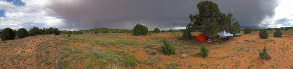
After our afternoon in Escalante, we headed down the truly heinous Hole in The Rock Road, which is 50 miles (if you drive to the end) of the worst washboard I have ever experienced. Everytime, it’s awful. We found a marginal spot underneath a gnarled tree alongside the side road out to the Egypt slot canyons.

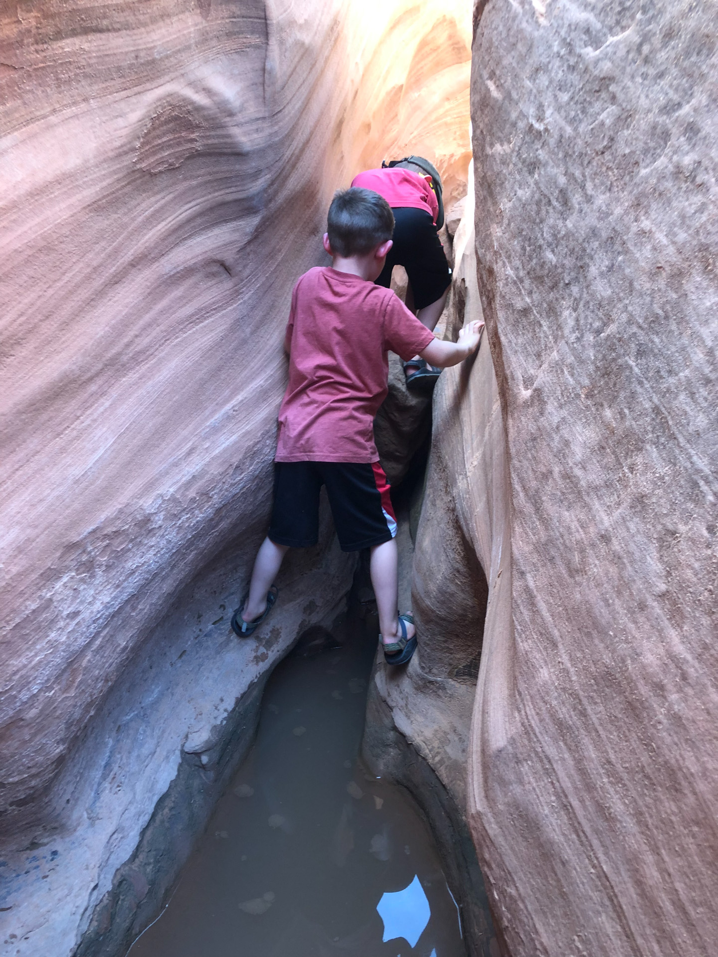
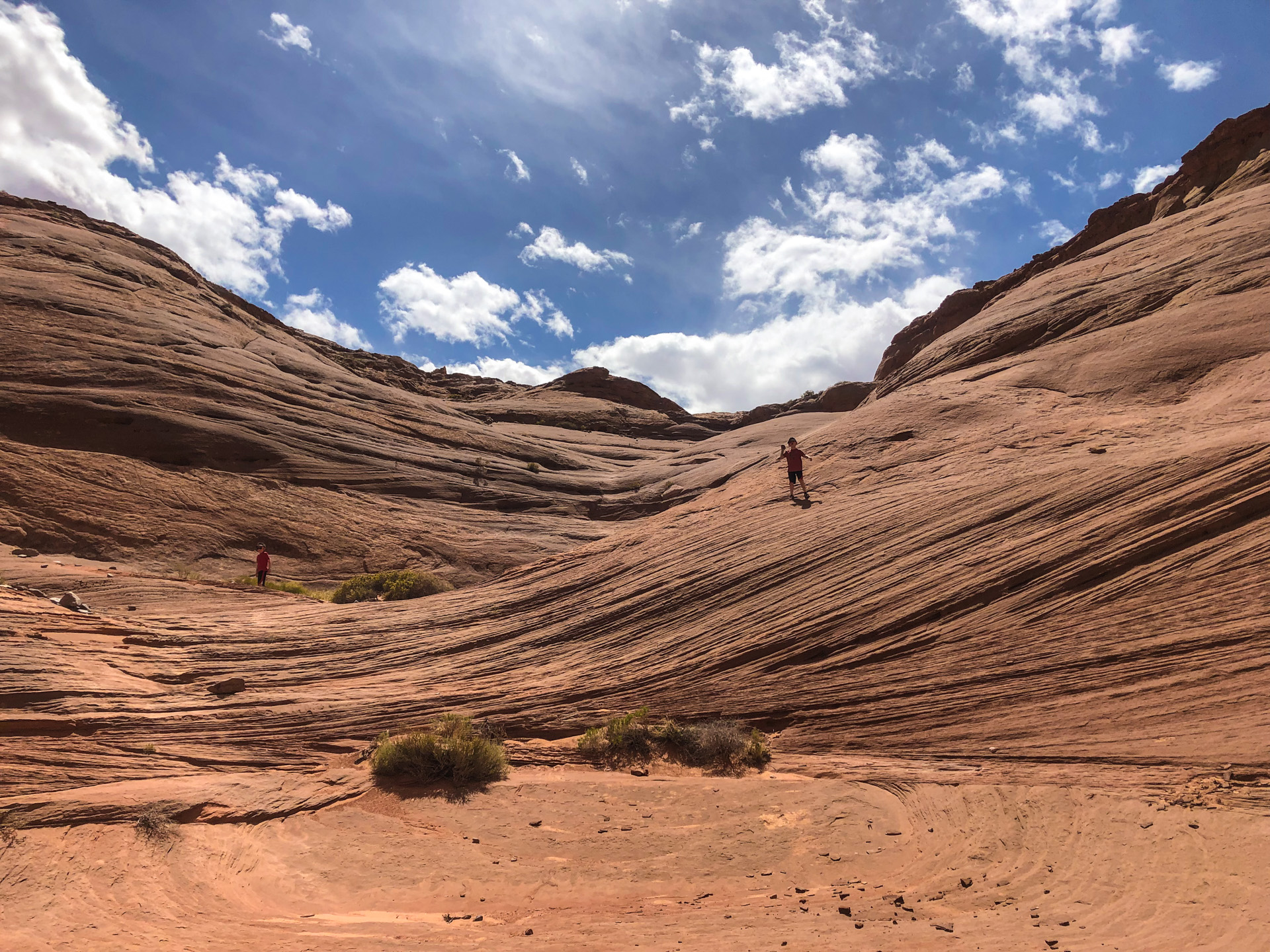
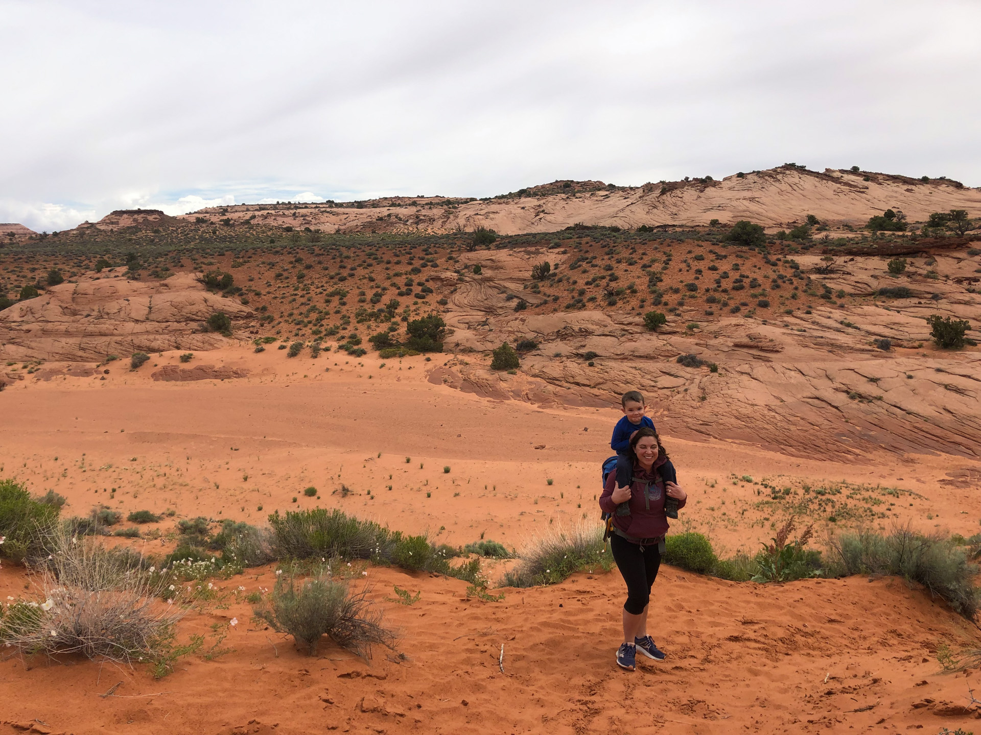
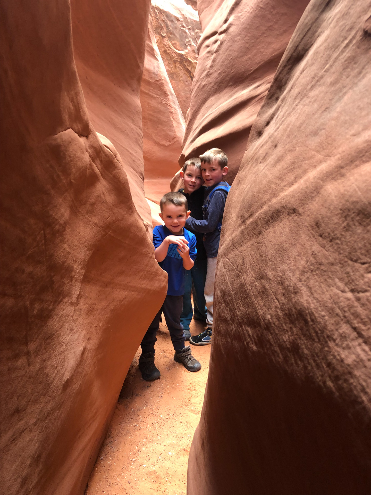
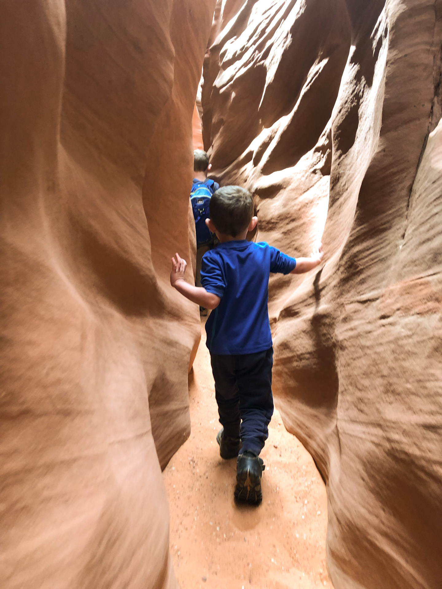
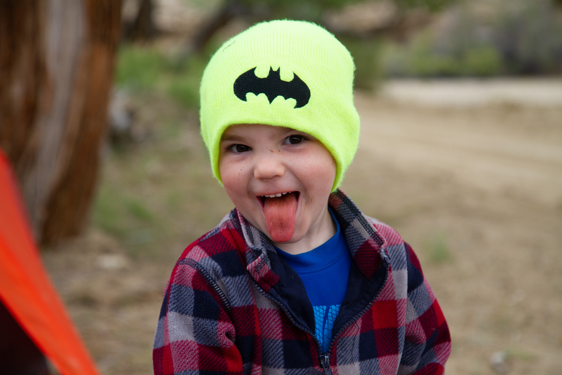
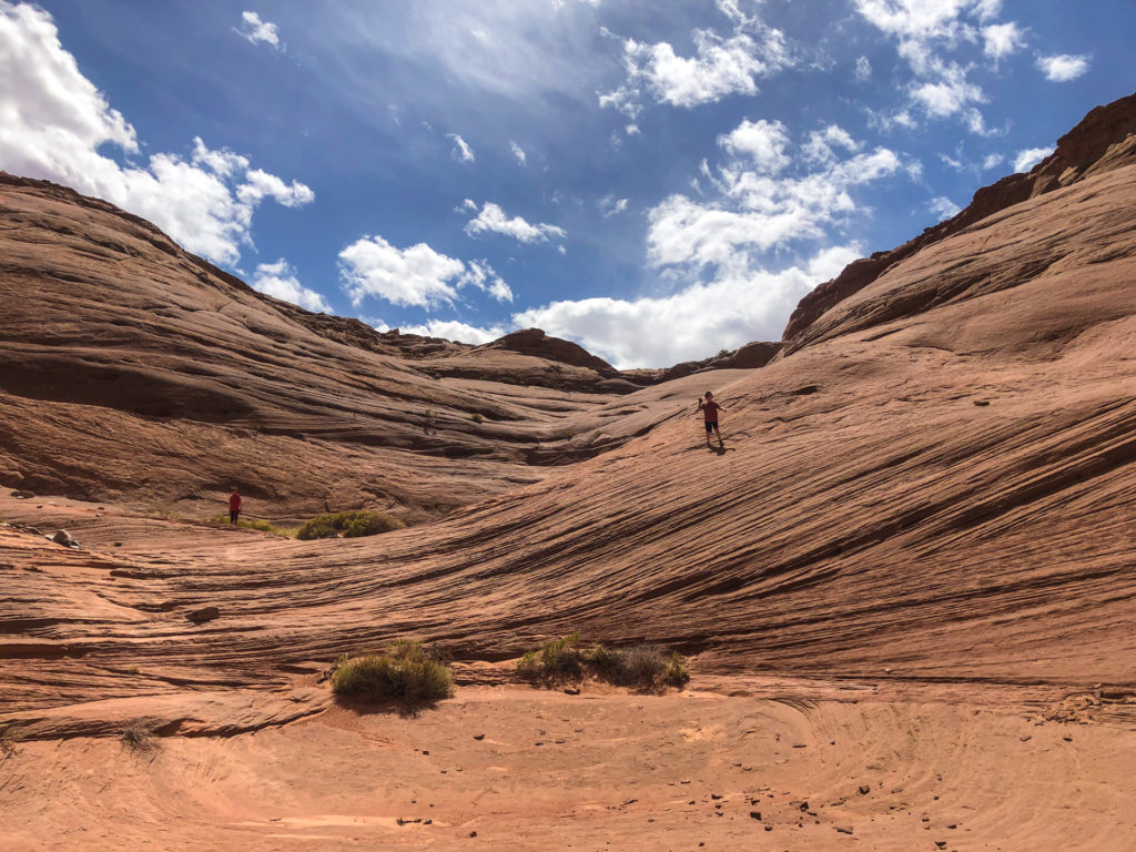
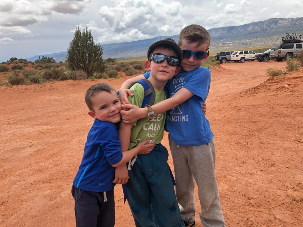
The following day we drove to the trailhead and hiked the Spooky and Peekaboo canyon loop. I suppose these are the boy’s first legitimate slot canyons. They were strong hikers and enjoyed it thoroughly. Emerson touched a baby rattlesnake down in the canyon, which scared the crap out of us, but fortunately he didn’t get bitten. Apparently, he thought it was “sleeping”, which makes it somehow okay to touch? We startled him thoroughly when we saw what he was doing–he was definitely more scared by our response than by touching the snake.
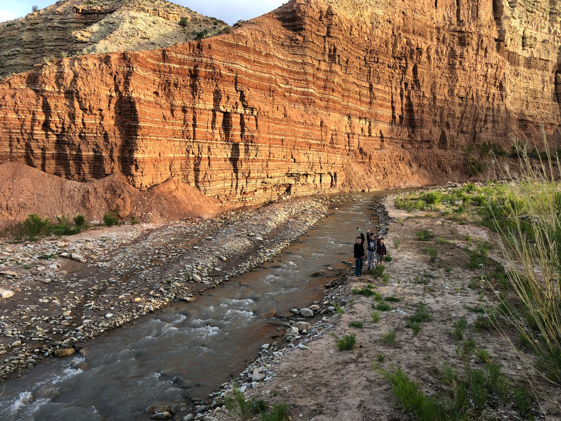
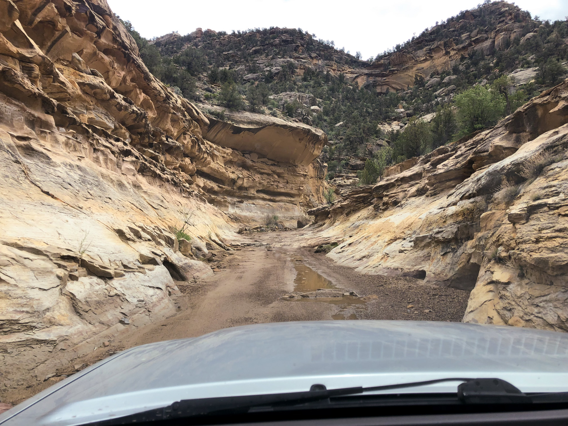
After the canyons, we started our crossing of Escalante, down Left Hand Collet Canyon. I had scouted this drive the previous year, by myself, but the conditions were considerably changed. By this point, it had been storming nearly every day throughout the region, and there were reports of flooding and washed out roads in numerous places (we stopped to talk with the forest rangers). The road through Left Hand Collet Canyon goes right through the stream bed for a while, right through and inch or two of running water–and that was the situation when I had passed through LAST summer, when it was otherwise hot and dry everywhere. This time, we drove it with storm clouds threatening overhead, and it was therefore quite exciting, but it all turned out just fine. Surprisingly, there was no more water in it this year than the last.

Our campsite was under a large cottonwood down in the bottom of Last Chance Canyon, where the road finds a way to cross it. Perhaps now is the right time to mention that this road, from where it leaves Hole in the Rock Road, to where it meets up with the small locale of Big Water, is the most remote road I have ever driven in the United States. It was fifty miles of often rough dirt road, without seeing a single other person or vehicle or camp or any sort of human structure the whole time.
The only difficulty we had occurred the following day, only a few miles from reaching pavement again–there was a wet, extraordinarily muddy drainage that we managed to cross, though we were quite close to getting spectacularly stuck. As I said, it had been perhaps the wettest week for southern Utah in decades; in any normal year there wouldn’t have been any issue.
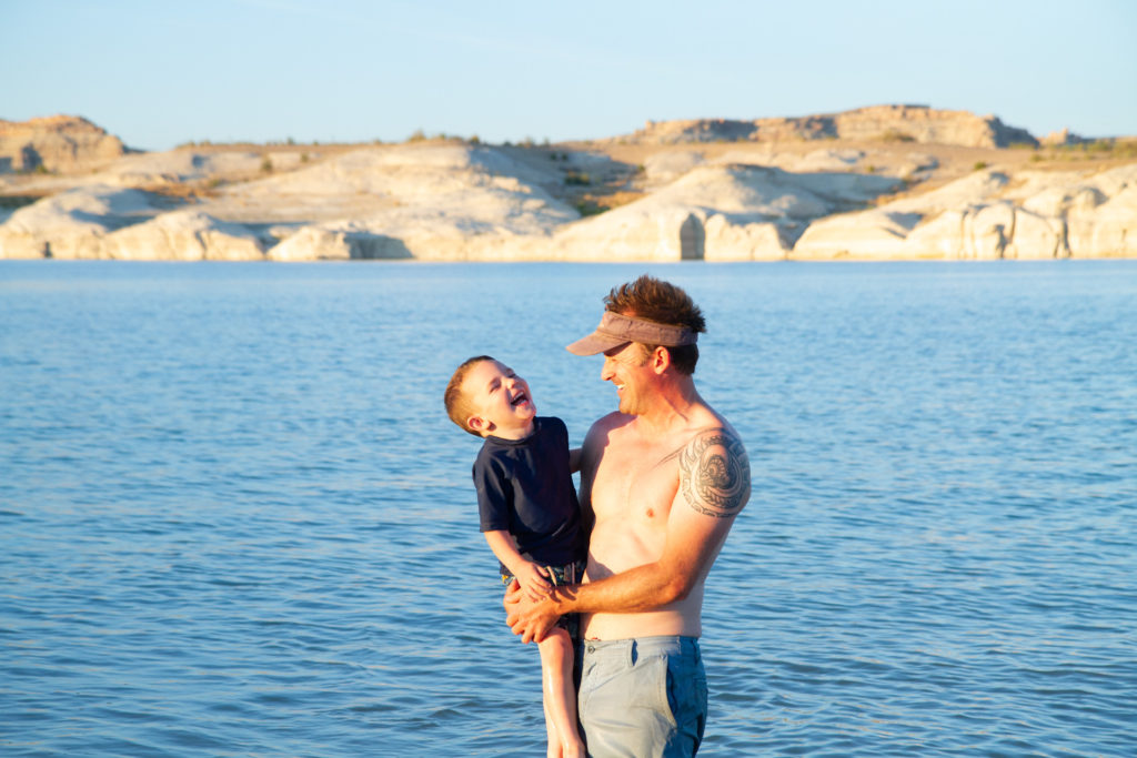
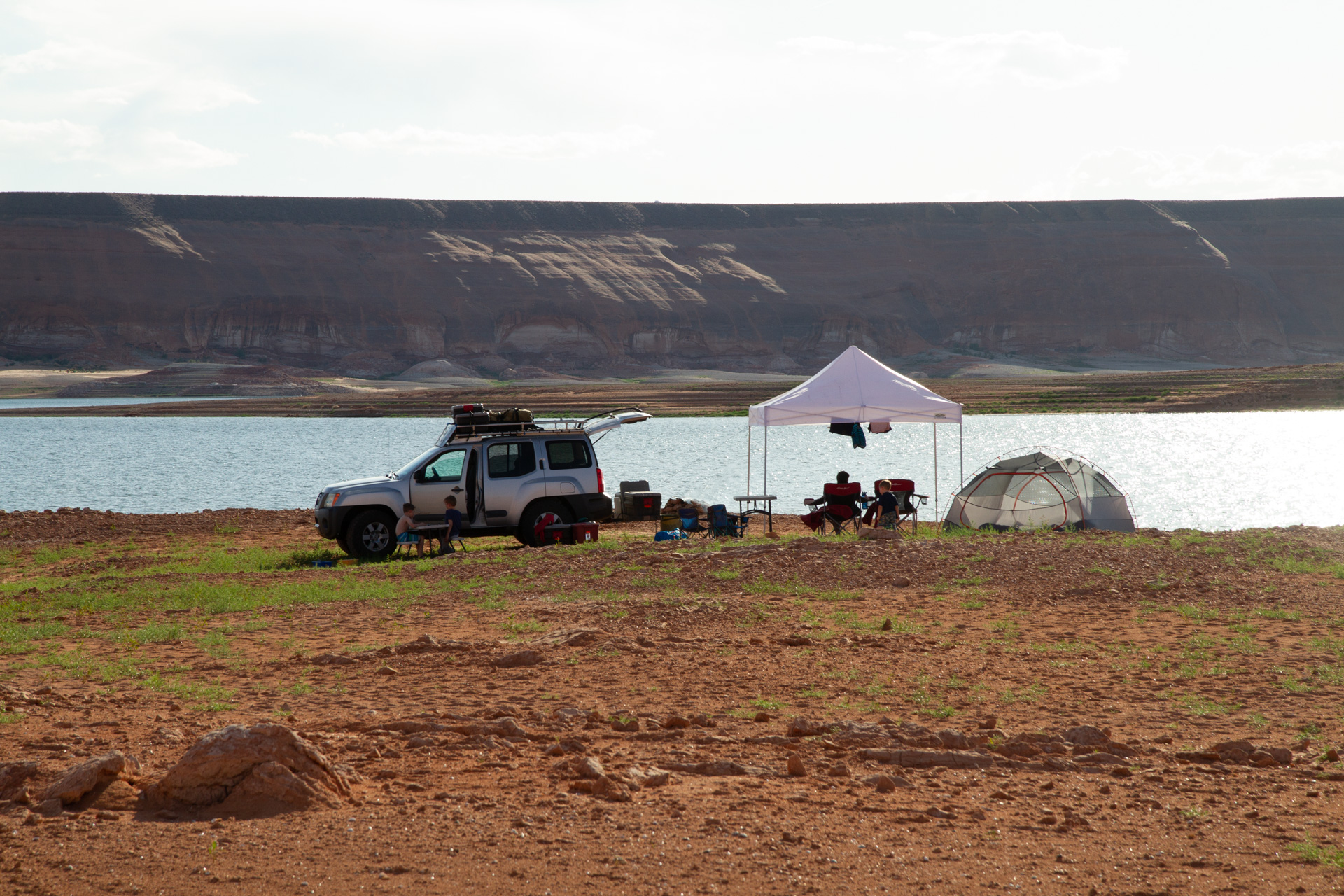
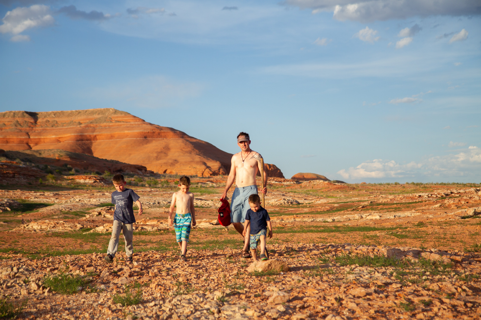
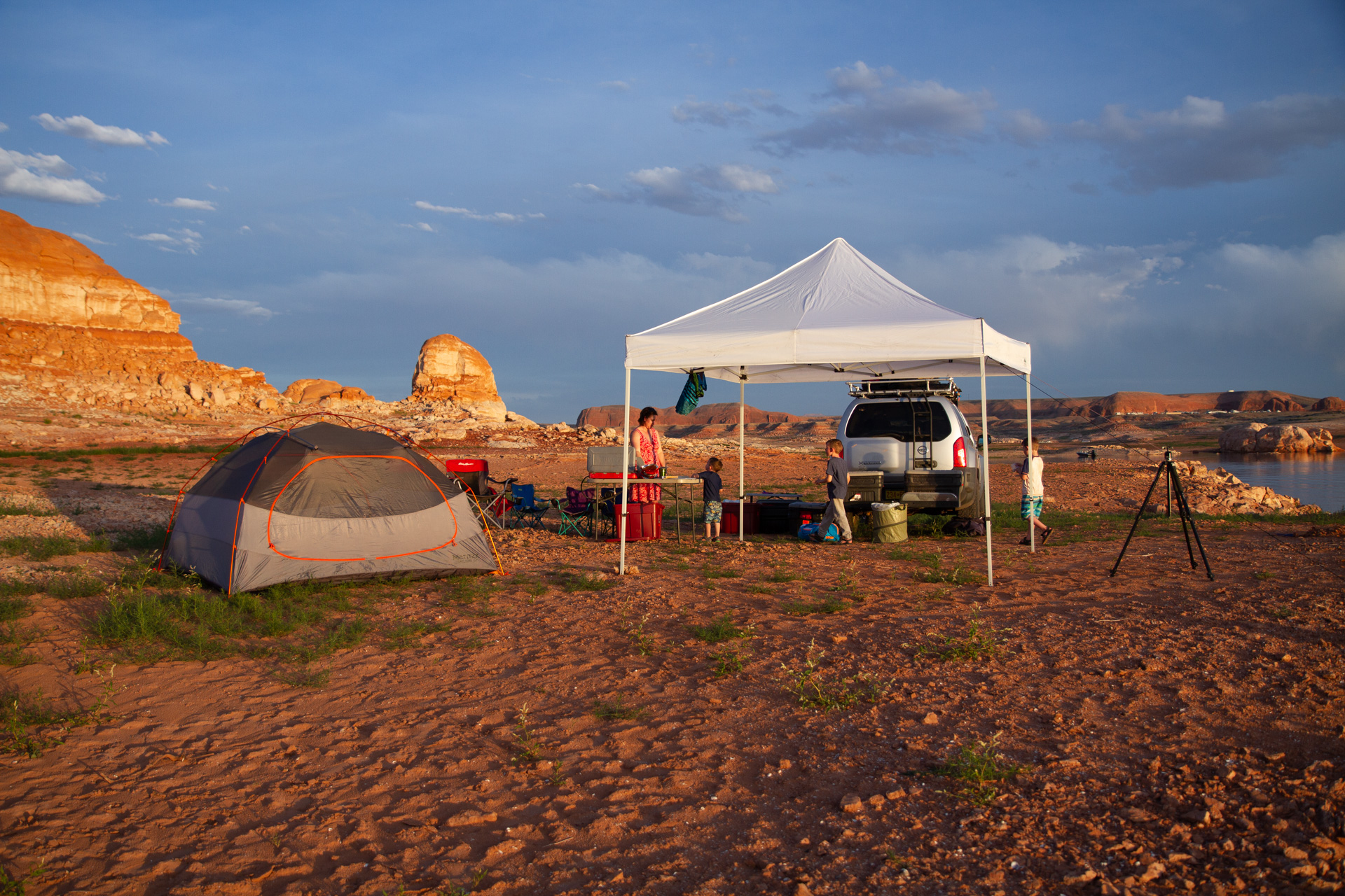
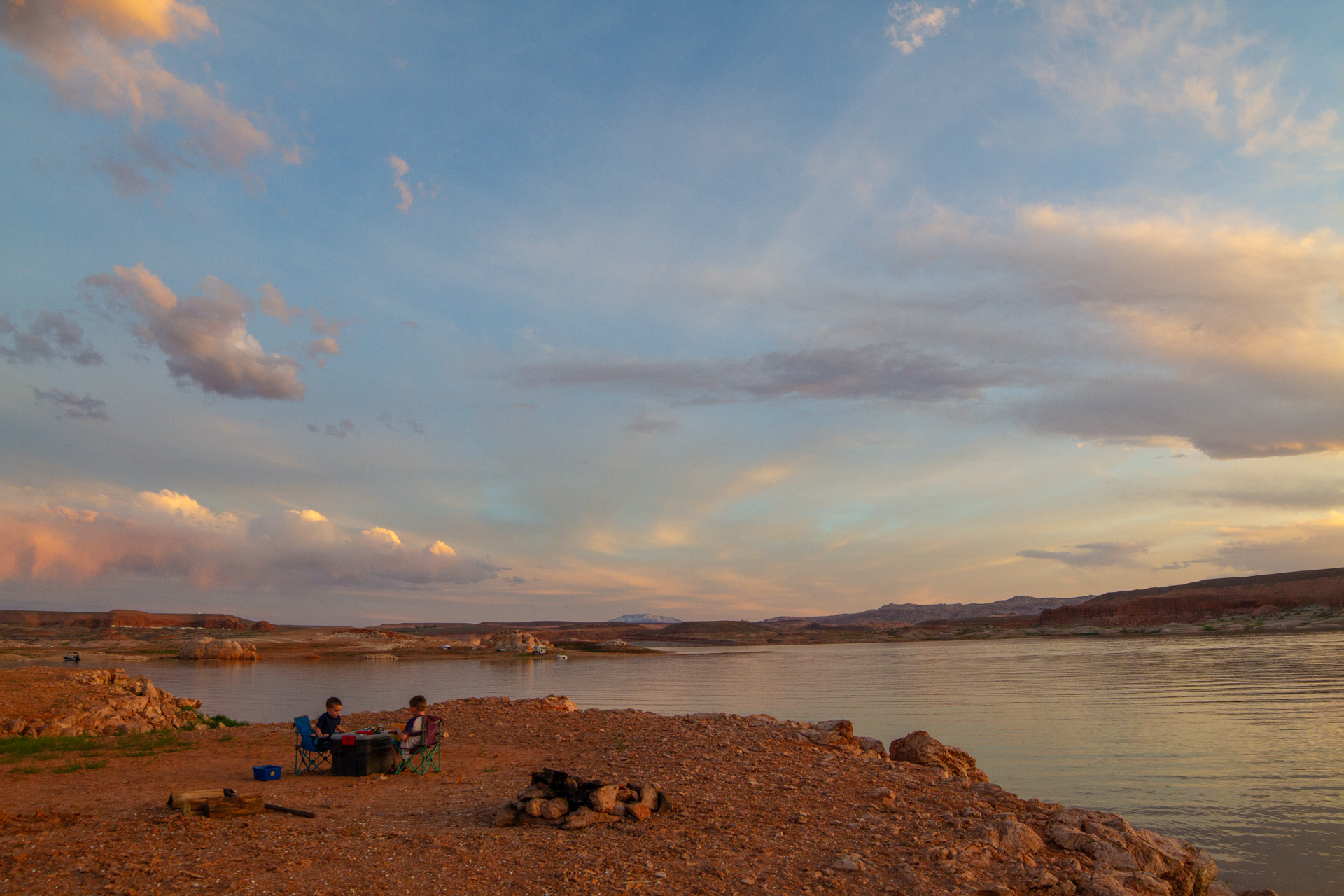
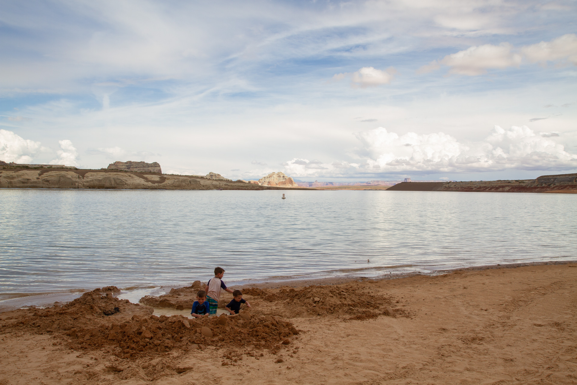
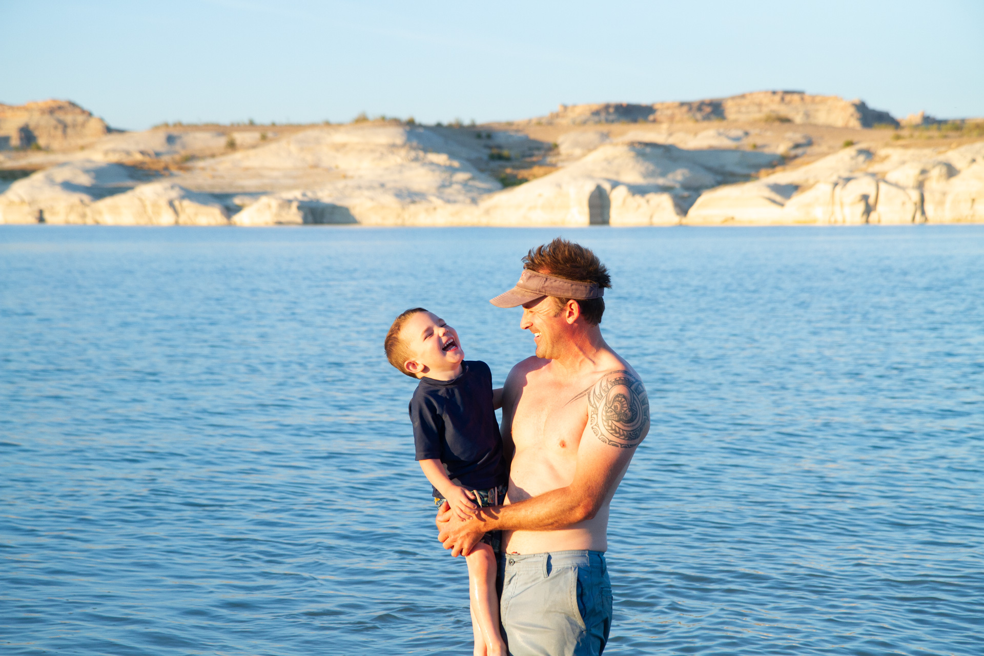
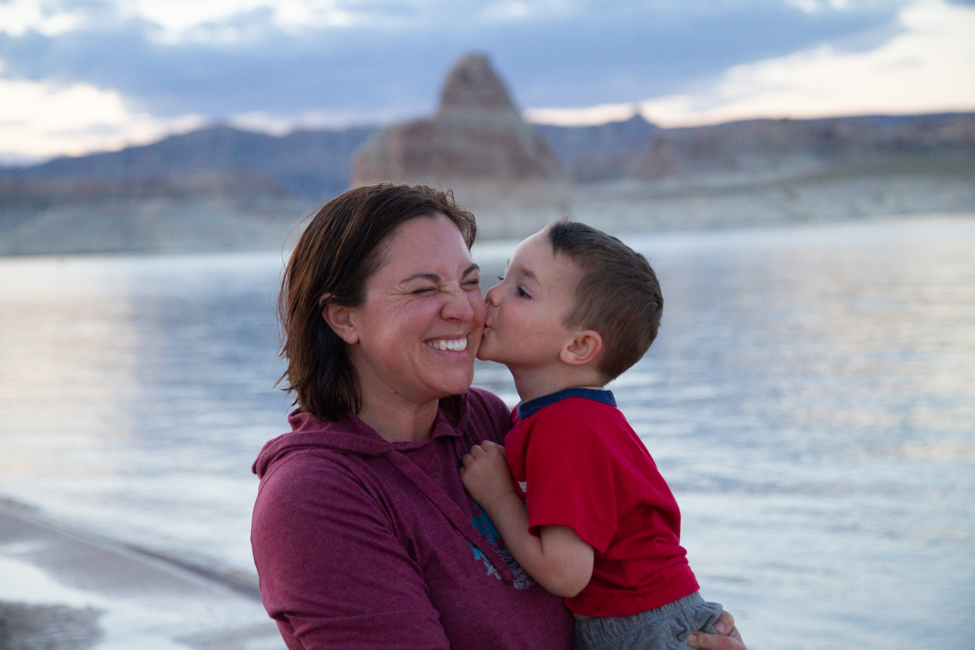
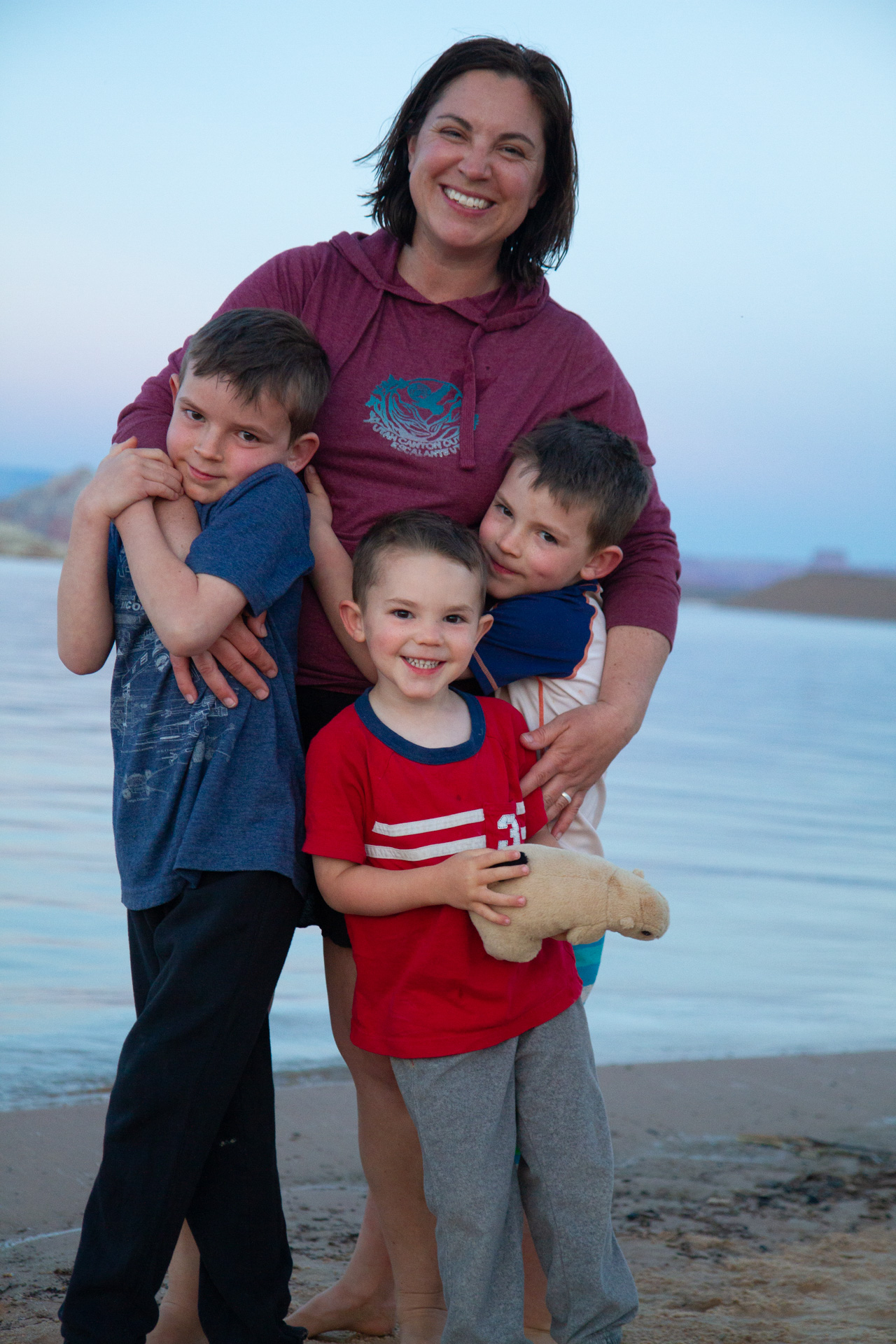
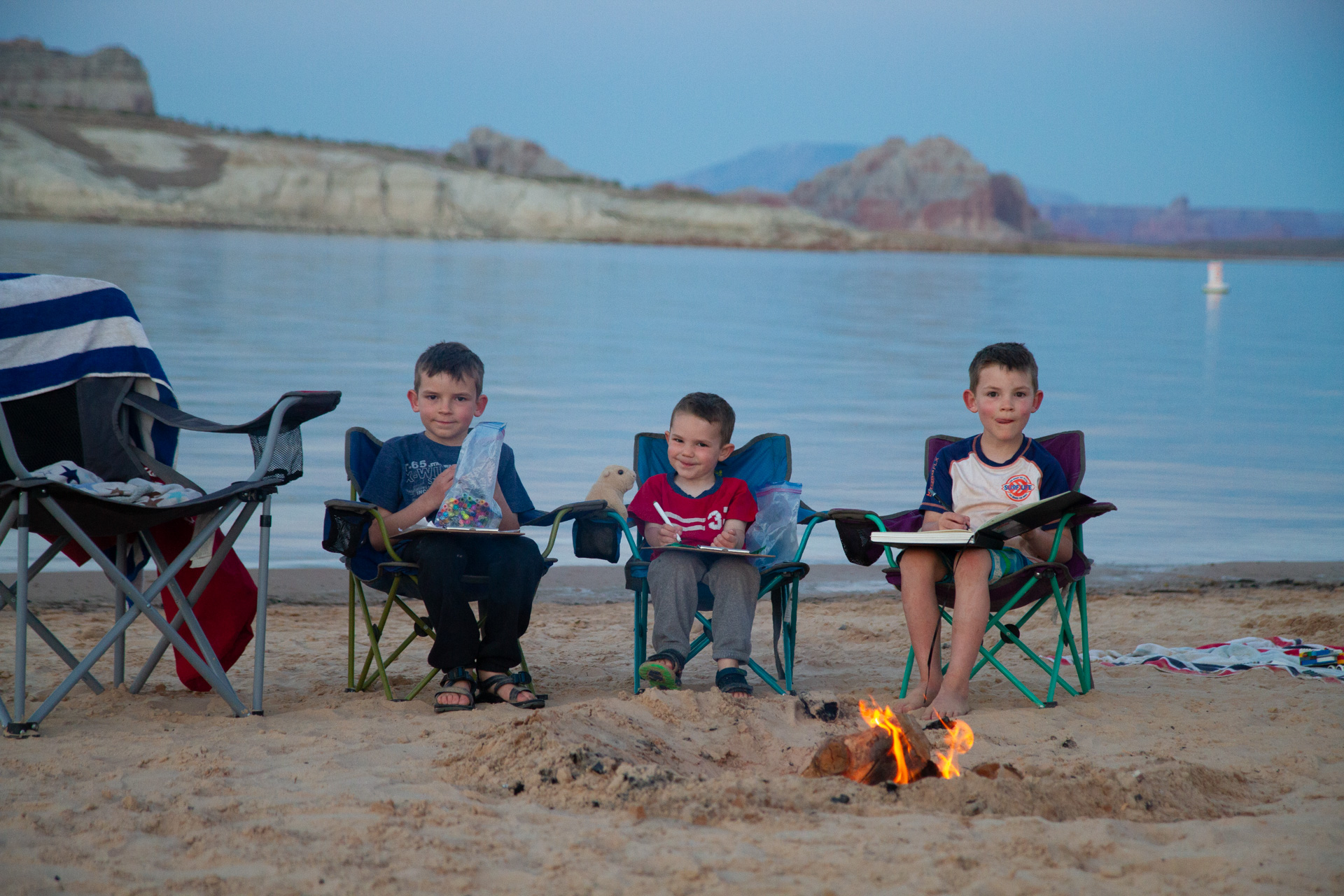
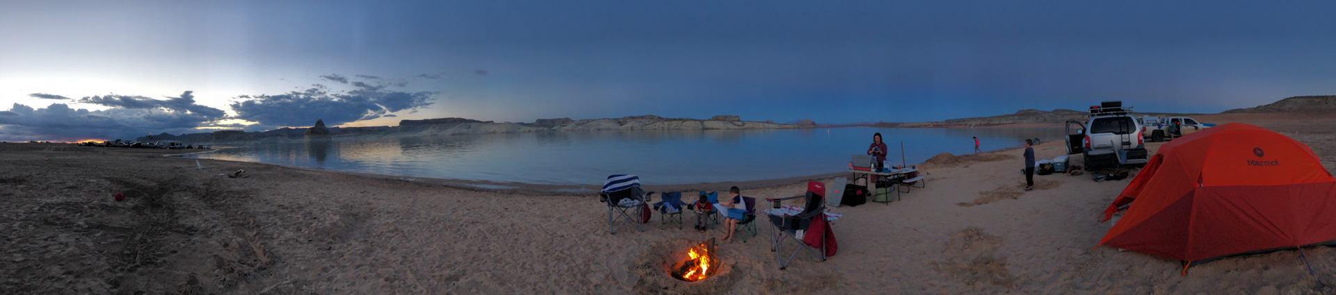
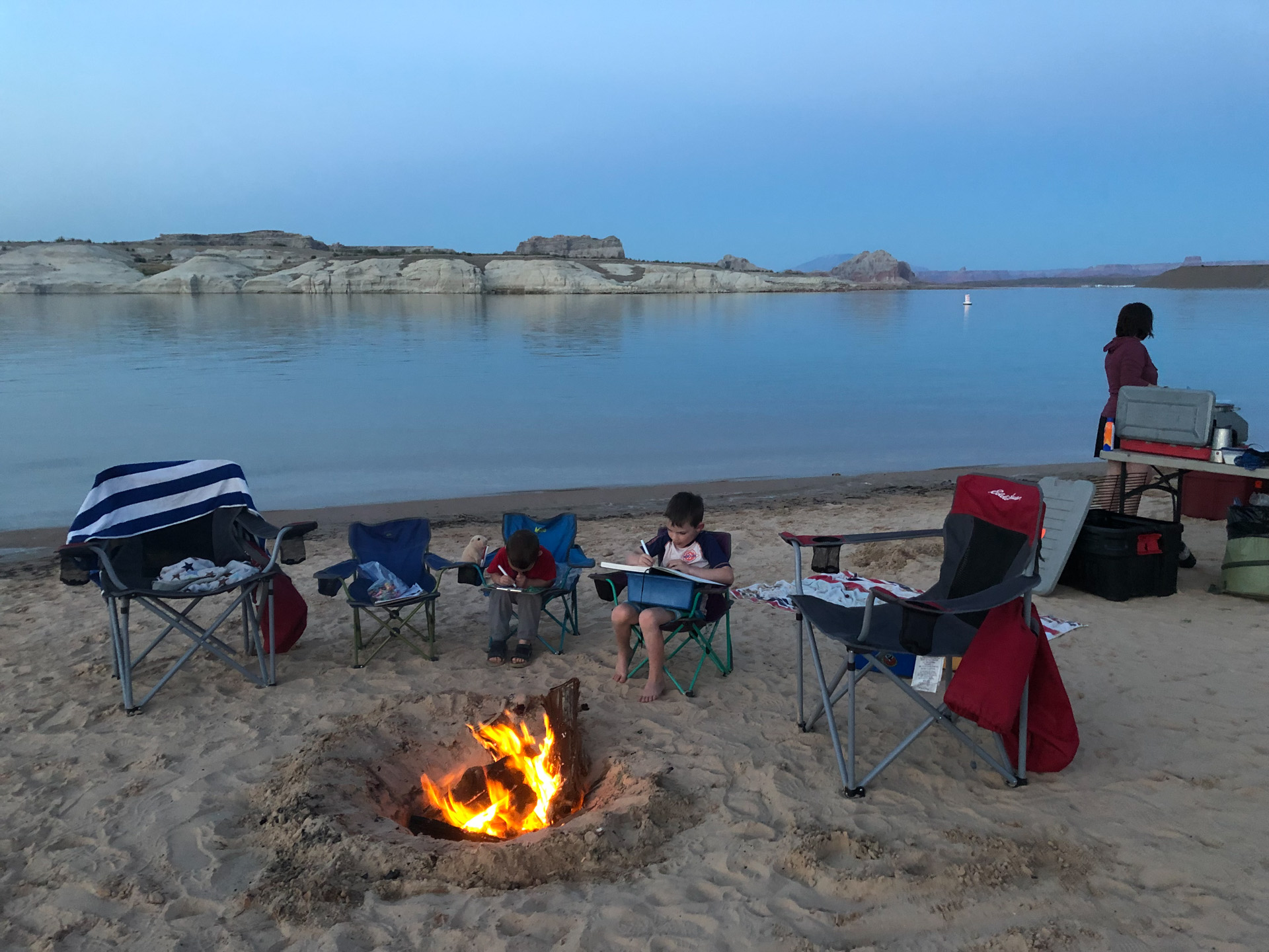
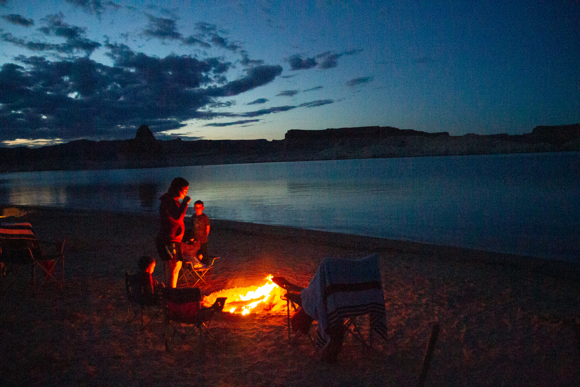
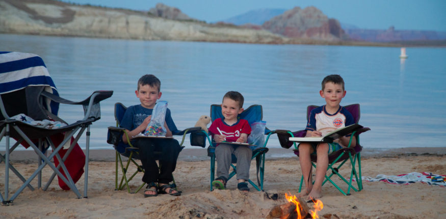
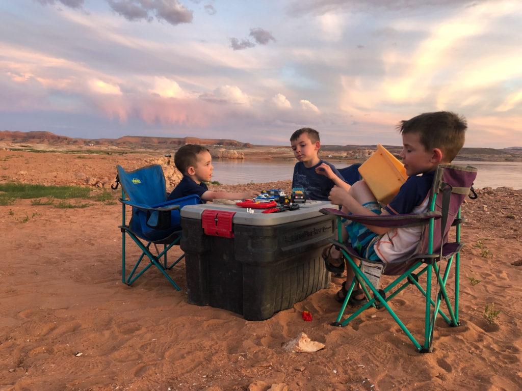
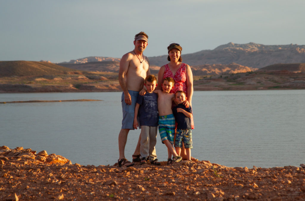
Like last year, we finished up this trip with a few nights on the beach at Lake Powell just west of Page, AZ, sitting, reading, playing, and drinking. At this spot, one can camp twenty feet from the water on a sandy beach (along with lots and lots of other people too). We don’t normally enjoy being camped right next to others, but since we had just spent ten straight nights at different ridiculously isolated spots every night, it feels right to make an exception in exchange for the wonderful beach access.
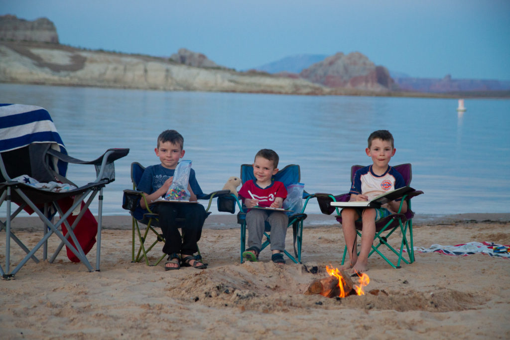
Naturally, the boys love wading in the lake and playing in the sand. Specifically, they love to employ their father to repeatedly dig them enormous holes which they fill with water, jump into, fill in via boy-play-induced-erosion, and then beg me to dig another one (even deeper this time!).
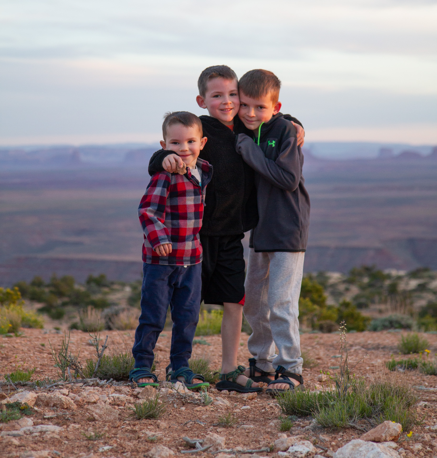
All-in-all, it was a very successful trip. Lots of driving time–next summer we’re going to cut back on the driving, or group it together at least so that it’s not so much of a daily occurrence. Karen and I are both particularly happy that Emerson did not get bitten by that rattlesnake in the bottom of the slot canyon in the middle of nowhere.
Link to download the .kml file with GPS track and waypoints for the trip.