We just returned from a fantastic family camping road trip to southeast Utah. This time we kept our plans fairly open and flexible. We had a list of possible spots and regions and activities, but avoided putting any specific dates or expectations on anything.
In the end, our overall route ended up following roughly the same path as our May 2019 road trip, with improvements based on lessons learned from that trip. I just re-read that post and I am really glad that I did the blow-by-blow description, so I’ll go ahead and do the same for this trip.
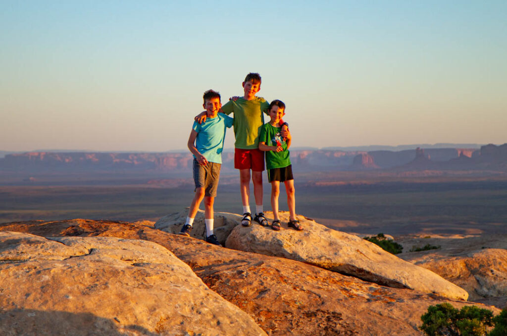
As we have for all of our Utah road trips, we spent the first night out near Muley Point. Muley Point has the advantage of being only 4.5-6 hours away from home (depending on how fast one drives and how many stops one makes—solo it takes me 4.5 hrs; with the family we’ve never been under 5.5 hrs). This time we chose to detour to Mexican Hat for our last gas, instead of the usual detour to Bluff. I was somewhat concerned about having enough gas for all of our plans, considering our next gas would be either Bullfrog marina or Hanksville. Either way it’s a detour, but Mexican Hat is a bit farther along on the road than Bluff, so this way we had just a bit more gas stored up for the next leg.
Muley Point had great conditions this time–and by that what I really mean is not too windy. Sometimes it can be impressively windy—blow-your-tent-away windy, or fill-the-tent-with-sand windy. We took our same spot as last time, just a few hundred yards down from the road along the rim, out into the slick rock area. The boys made some instant friends with two girls camping a couple hundred yards away up on the rim, went spider hunting etc. They asked me to accompany them after dark for some scorpion hunting. No luck, only found a toad, but it was a reminder to add “UV flashlight” to the desert camping list for next time, as I understand that scorpions will fluoresce in the UV, making it much easier to spot them.
We re-learned a lesson early this trip, which is that the cooler needs to be properly conditioned before starting the trip in order to reach a point of optimal efficiency. Ideally, the cooler will be filled two days before departing for the trip. Initial contents should include, in the following order: two blocks of ice (on the bottom of our 110 qt cooler), all semi-perishable foodstuffs (excluding the raw meat, basically), and then two bags of cubes on top of that stuff. The cubes will mostly melt over the next 24 hours, then on the night before or morning of departure you can add the rest of the perishables and however many extra bags of cubes will fit. No ziploc bags whatsoever, as they are not truly waterproof and inevitably they will contaminate and be contaminated by the cooler water. The whole method of “put the bags on top of everything, above the water, and it will all be fine” is just wishful thinking, and it never works. My preference is to buy a big set of the cheap but still waterproof plastic containers in various sizes, and then everything gets transferred into the plastic containers. The trick is remembering to either transfer everything before leaving the house, or else taking enough extra containers so that they are available for transfer in the parking lot of the grocery store after the inevitable last-minute store run on the way out of town. Honestly, this excellent advice in the category of “cooler handling” should probably should be counted as “lessons never learned” for us, because we re-learn it over and over again on every long trip and yet are too lazy to make any changes for the next trip.
We have also introduced a second small drink cooler to our system, a cheap portable semi-soft sided one we bought from Walmart one some trip out of desperation, roughly 12L, cost us about $40 I think. It’s like this expensive one, but some much cheaper brand (couldn’t find the one we bought on amazon). The issue is that the drinks are far too onerous to extract from the bottom of our big cooler, so we shuttle drinks into the small cooler, one-for-one when we pull them out. That way the drinks don’t take up useless space in the big cooler (because we never end up finding and drinking them) and don’t melt down the same ice that’s keeping our raw meat fresh. It has worked well to let the small drink cooler fill up (and overflow) with water, and we just shove more cubes in there whenever we buy some. That wouldn’t work as well if the cooler was inside your car, but we have ours strapped between the hitch carrier and the liftgate of the xterra, so it stays in the shade usually and can drain out on the ground all it wants.
On the second day of our trip we drove from Muley Pt to Fable Valley. Fable Valley reportedly has some incredibly remote, excellent ruins. Roadtrip Ryan has a great write-up on it. The route we took to Fable Valley was even longer than anticipated. I had anticipated maybe two hours, and I think it was more like four. The biggest surprise is that the road reaches nearly 9,000 ft elevation along a stretch that passes through gorgeous grassy meadows and aspen groves with huge views down spectacularly steep slick rock canyons to the west (and then later on, to the east down into the dark canyon complex). We had no idea that we would have a chance to camp in such a shady, comfortable, forested spot in this region of Utah in June—we were expecting the usual blasted desert, scrub juniper at best.
We passed through this wonderful high alpine region on the drive to Fable Valley, then dropped down lower, back into the blasted desert region, about an hour prior to reaching the Fable Valley trailhead. There was another surprise—negative this time—at the Fable Valley TH. I had expected to be able to drive down the last 2.1 mile section of 4WD road to reach the rim of the canyon, and start our 7 mile round trip hike from there. 7 miles roundtrip, with a 2,000 ft elevation loss/gain, was going to be a pretty epic desert hike in the 80+ degree heat as it was. The notion of adding another 4.2 miles to the overall length ended up being too much for the family. It didn’t help that we discussing our decision while standing around in the proposed campsite for the night, which was pure Utah desert camping, e.g. hot, sandy, juniper-scrub, while we were dreaming about the high-alpine camping that we had passed through only an hour-and-a-half previously. So we ended up bailing on the whole Fable Valley hike and driving back to the best spot we had scouted along the drive. On the map below I will refrain from putting a track for the hike and the best ruins on there—because we didn’t do it yet.
Although I was initially disappointed to drive all that way and fail to do the hike, my disappointment faded as we spent two nights in what turned out to be the best campsite of the entire trip. The pictures and video depict it best: it was a strange combination of huge flat expanses of slick rock surrounded by pines, aspens, and two small ponds, with a lawn of green grass everywhere there wasn’t rock. Basically a huge open field of rock and grass, optimal for boy-play. No bugs, only by virtue of how cold it got at night (down into the 40’s).
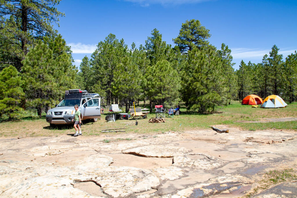
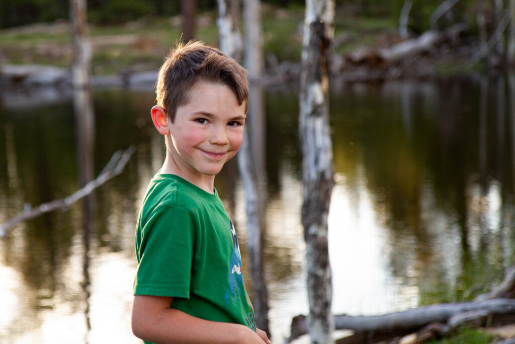
I think we hugely lucked out with seasonal timing, and ended up in a super short window where the grass is growing and everything has turned green, but temperatures are still too cold to support bugs. There were two small ponds next to camp, one still and pretty and the other stagnant and algae-filled, and surely both of those will support copious annoying insects as soon as temps warm up. Anyway, it was freaking awesome for us, and if we ever return we’ll try to hit a similar weather window. Also relevant, the ranger at the Kane creek station said that this region had received 10 feet of snow this winter, so that might have an effect on the current quality of the camping.
One of our resolutions for this trip was to spend two or more nights in every camp spot. That was a lesson learned from our spring 2019 trip, where I believe we moved camp every night for 11 nights. Camp setup and take down is fairly involved, and basically is just more work than either Karen or I want to do on a relaxing vacation. In the end, we successfully adhered to this resolution for every NICE campsite on the trip. For the few sub-par spots we moved on after a single night, in search of greener grass (sometimes literally).
After two nights in that new area, we exited to Blanding via an alternate road, for gas and ice primarily, then drove on to Fry canyon for a quick dip. The boys were excited to don their wetsuits and take themselves through the scrambly, easy Fry slot. I tried to just hang back and watch.
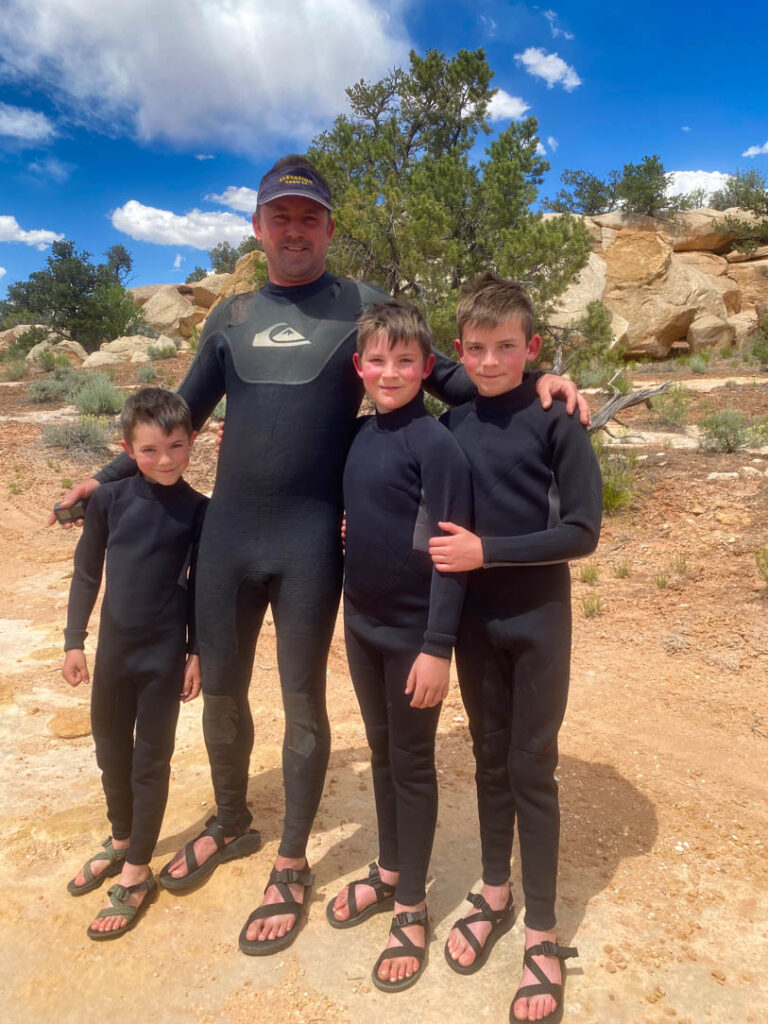
We had planned on doing a couple of technical slot canyons. I had hoped to do Black Hole and Leprechaun again (the boys have done it once already), and we had purchased cheap wetsuits off amazon in preparation for cold swimming (in the Black Hole). Alas, the weather threatened rain throughout the period when we had planned to do slot canyons, and my level of risk tolerance when taking the entire family down a technical slot by myself is extremely low. So we didn’t end up doing any slots this trip (except for the 20-minute “Frylette” slot just off the highway, which counts only for pictures and some brief wet fun for the kids).
From Fry we drove on to the North Wash (“Sandthrax campsite”) for camping. Even though it was mid-week, the best spot was occupied, and three others besides. North Wash is super popular now. I miss the good old days when we were always the only people there, no matter when we went. It was a bit hot and a bit buggy this time as well.
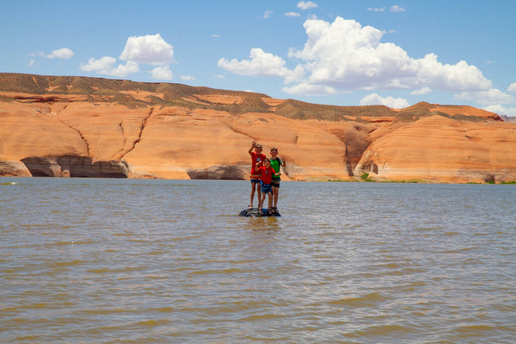
We stayed only one night at the North Wash, the family was not excited about the bugs, heat, and crowds if we weren’t planning on doing any canyons, so we packed up and drove down to Bullfrog marina for a half day of swimming in Lake Powell. As always, it was thoroughly refreshing to get in the water on a hot desert day. The water was still quite low while we were there—well off the end of the boat ramp—but rising nearly 2 ft/day.
From Powell, with topped off gas and ice, we drove the Notom-Bullfrog road to the NW. We spent too much time in the late afternoon exploring side roads trying to find a campsite superior to the one we had used in 2019, without success. We finally grew exhausted of driving and looking and threw down off the side of a forest road in a spot that was perfectly serviceable, though not up to the elevated Holmes standard–we were spoiled by “slickrock campsite”. Bugs were bad and we made an early night of it. I’m not sure that there is a better campsite along that stretch than the one we used in 2019, the “Studhorse peaks” camp.
The following day we drove to Boulder, for our mandatory Magnolia’s food truck & museum visit. I had a great breakfast burrito, but made the same mistake as last time by taking a chance on the kimchee which was not impressive. I love kimchee though and it’s hard to see it on the menu and not try it.
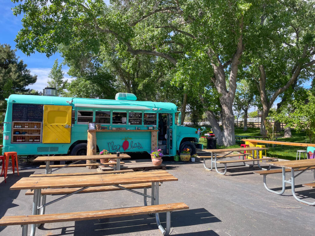
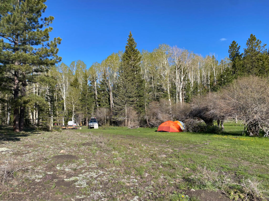
We stopped at the little gas station on the west side south of town also, and that has two neat little places adjacent to it, another food shack and a place with ceramics and other local artistic stuff. The mango lassi from the food shack was no good (another wishful thinking purchase) but I’m still happy to see the local businesses, it certainly makes Boulder feel more interesting and welcoming. We drove on from Boulder up towards the Devil’s backbone, in search of camping. I had scouted out a potential forest road on Google Earth before the trip, and we drove up that as far as we could. We made it farther than I expected, but not all the way to the lake (McGrath Lake). Not in the car, anyway. We got out and hiked the rest of the way. Beautiful spot, and hardcore driving in places. We backtracked just a little ways down the road to a beautiful grassy meadow with a gurgling stream running through it, and set up tents and camp close enough to keep the sound of the stream with us for the duration of our stay.
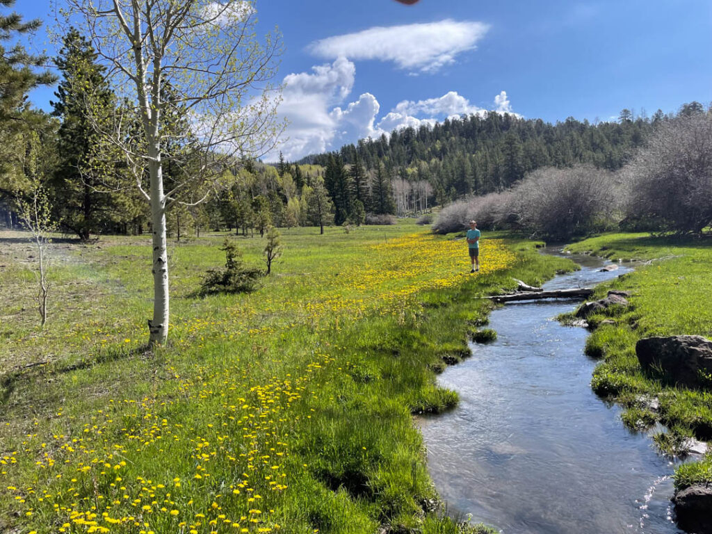
That camp was at 8900 ft, actual alpine conditions, all aspens and pines, and it was wonderfully chilly at night. We even passed a few patches of snow along the last bit of road. It started raining on us the afternoon we arrived, and rained off and on for the next day and a half, with temps in the 40’s and 50’s. The rain was largely appreciated: the whole family enjoys the sound of the rain on the tent while dry and cozy inside the sleeping bag, or cooking underneath the canopy. There were plenty of sunny patches in which to enjoy the green meadow. By the end of the second day though we were ready to return to the warm and dry desert (conveniently located only an hour away).
After two nights in the spot I’m dubbing “McGrath Meadow Camp”, we drove back out to the highway and joined the tourist hoards in hiking to Little Calf Creek Falls. It’s a great 8.4 mile round trip hike to the most beautiful waterfall I’ve ever seen in the desert. The boys all packed their wetsuits in order to swim in the freezing water, so they had a great time. The water was particularly cold, I can confirm.
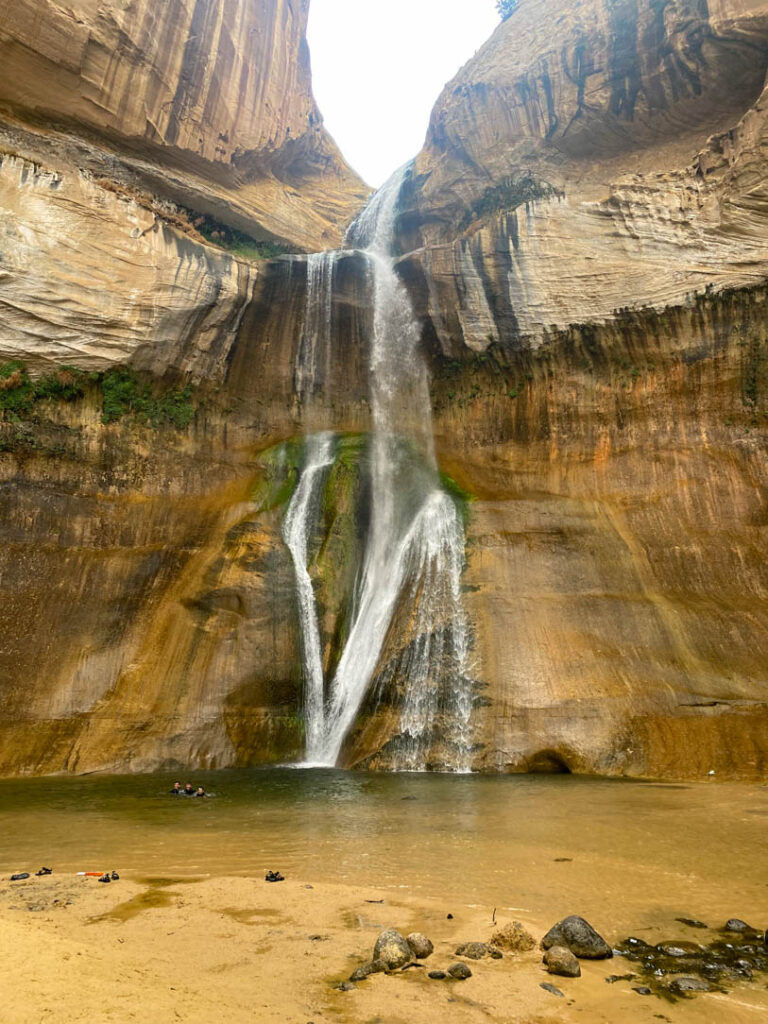
After the hike (and saving a snake that was crossing the road) we made it to the town of Escalante for a delicious pizza dinner. The only small grocery in Escalante was closed by the time we rolled into town, but we had enough supplies for another night of camping. We met a wonderful woman in the pizza place while we were making plans, who grew up out in the middle of Escalante raising cattle. We knew right where she was talking about, from our previous two crossings through the Left Hand Collet canyon, so she was happy to provide some more beta on the area. After speaking with her we decided to take the Smoky Mountain rd south right out of the corner of town, which was a new route for us. It turned out to be more than 75 miles of dirt rd with no services, no homes, and not a single person or vehicle. Most of the southern end was the same as our previous crossings; only the north side was new.
We camped up on “Camp Flats” and it was an excellent choice for a single night, with some shady trees and plenty of open space for a huge group. However, like many spots this trip it was a bit buggy for our snobby camping taste, so we were fine with moving on after a single night.
The next day we finished the Escalante crossing to come out onto the highway again at Big Water, AZ. We drove into Page for some supplies and another restaurant meal before driving out to our usual haunt on Lone Rock beach.
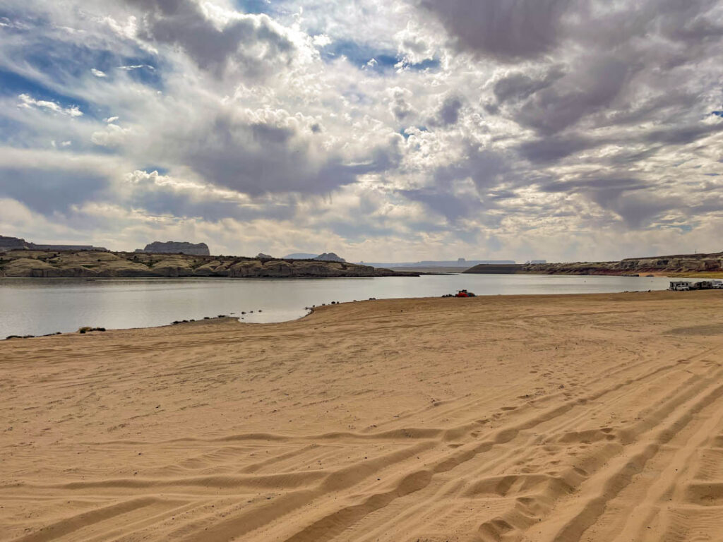
The water was considerably lower than when we were here in 2019, but considerably higher than the low point. And, as mentioned, rising by 1-2 ft per day. We established a camp a bit further from the water than we might otherwise, in order to accommodate three days of rising water. So we put the tents 40 ft from the water instead of 20… Really, this lake beach camping is pretty spectacular.
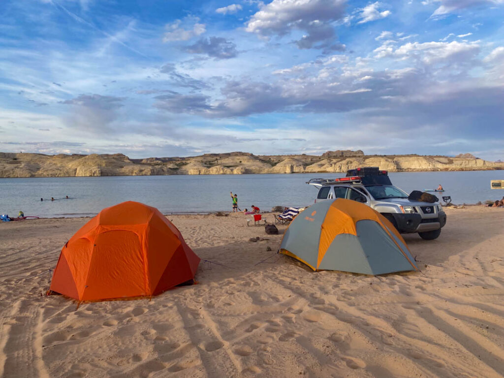
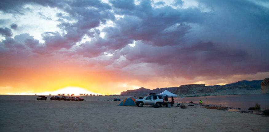
After two nights and two days-worth of sitting around all day every day, under the canopy, with beach fires in the evening, swimming whenever it got too hot, we were ready to head for home.


Great details in your commentary, Matt. Loved all the pictures! the boys are growing so fast!
Love to all, Vicki/Gigi