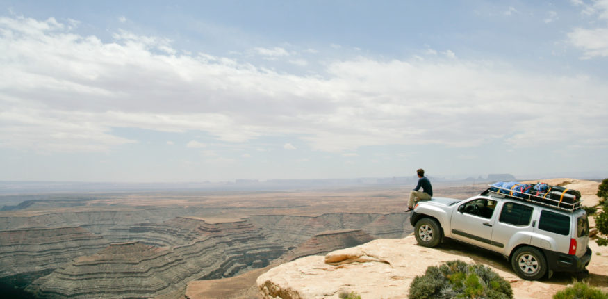
Muley Point, on the southern end of Cedar Mesa in southwest Utah, has a beautiful road, a rarely-visited scenic overlook, and kickass campspots, all in one.
If it were located along a major road it would be a must-stop photo opportunity and overrun with tourists. But the overlook happens to be located on a road from nowhere to nowhere. By this, I mean that regardless of your Point A and your Point B, the road up past Muley Point (route 261) is not the fastest way to get there. A visit requires an additional detour off an already minor, lesser traveled road.
We like it that way.
On our recent family roadtrip, we camped up there on the Friday night of Memorial Day weekend, and we didn’t have a single other party within sound or sight (unless you count the flickering lights 15 miles away across Monument Valley…).
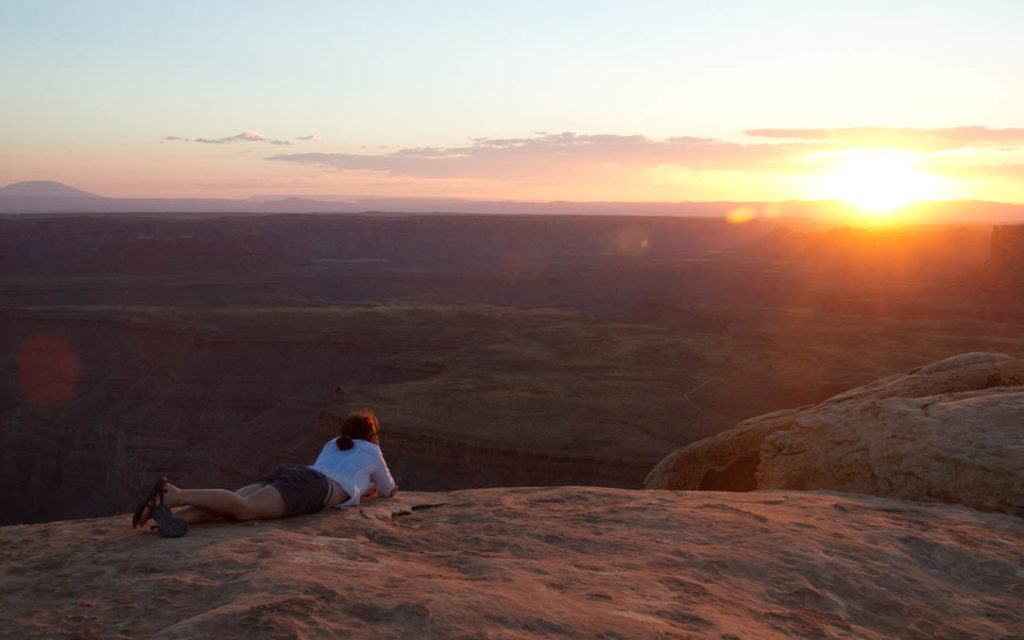
From Los Alamos, it’s a 5-6 hour drive. If our canyoneering posse (non-kid trips) leaves after work, we can roll into Muley Point late at night to crash, laying out the sleeping pad and bag on the sandstone on the edge of the cliff and waking to a dependably fantastic sunrise.
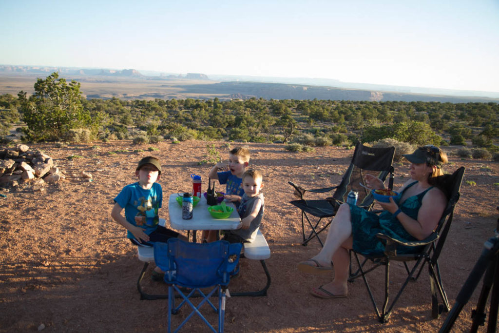
This past trip, we turned Muley Point into a destination unto itself, rolling in early enough to have a relaxing set-up and adequate time for exploring before dark. For the family, I found a spot some distance away from the sheer cliffs; a spot where the boys could roam without danger.
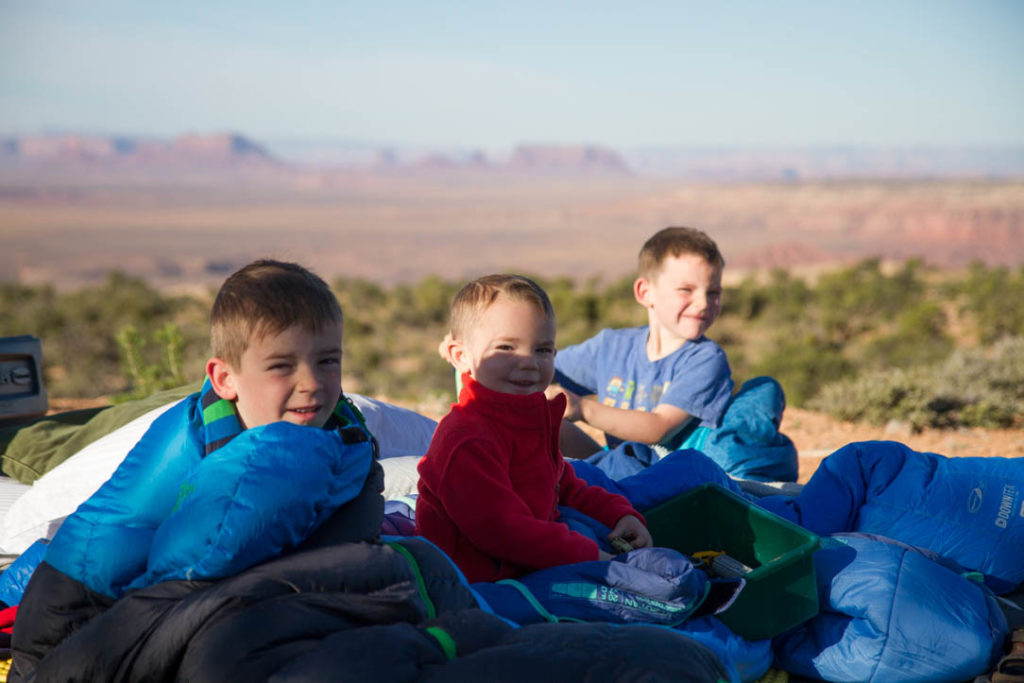
Our campsite was on the side road to the west (the tent waypoint icon in the map at the bottom of this post was our spot). At the end of the main road there are numerous side roads with tons of slickrock camping along the edge of the cliff, all with incredible views out over Monument Valley. The boys loved camping out under the stars, no tent. Turned out to be quite a windy night (be forewarned: one drawback to the awesome exposure), so I didn’t sleep very well, but the boys slept great. I was proud of them in the morning—to them, the whole thing was completely normal.
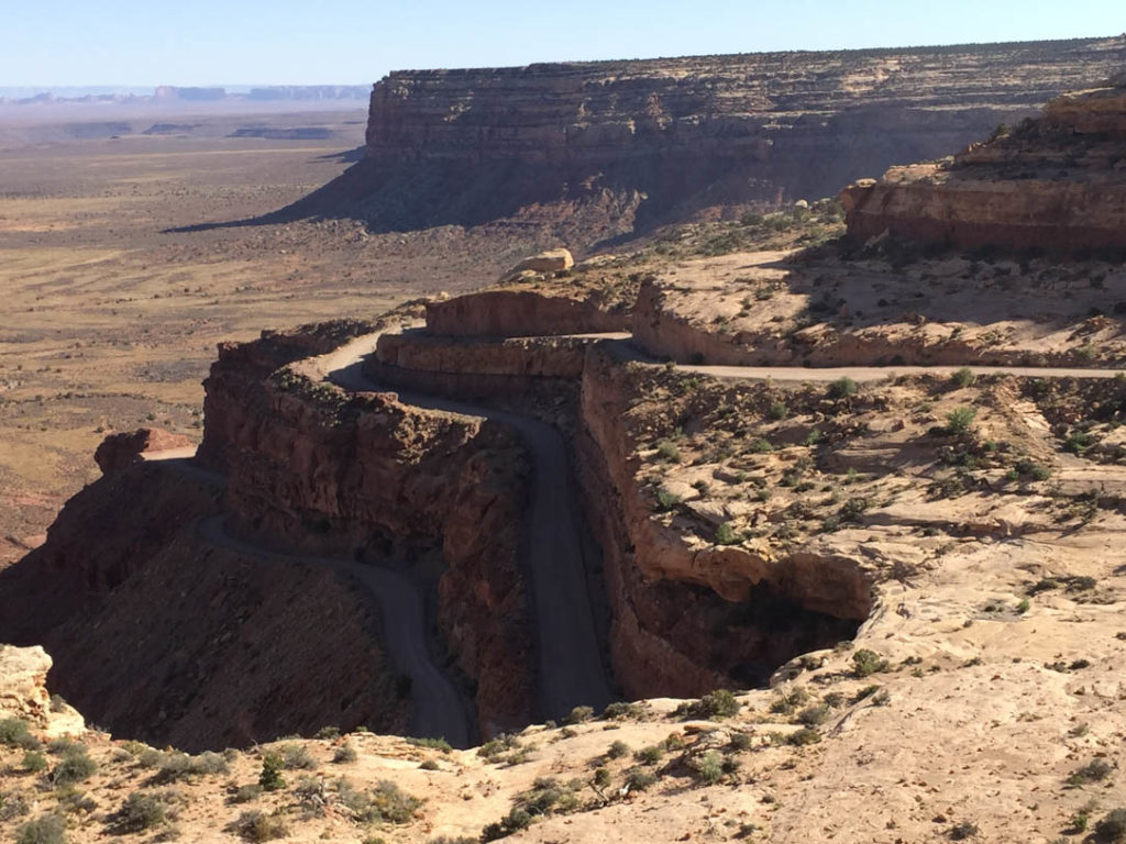
While the camping and views are spectacular, getting there is half the fun. It is a beautiful, impressive section of road. The paved road beelines for the bluff, and when it reaches the cliffs the pavement gives way to dirt. The most adventurous will look twice, as the Moki Dugway, carved out of the side of the mesa, becomes steep and curvy, linked by several tight switchbacks. Don’t try it if you’re pulling a trailer as it could be seriously dangerous. At one point along the road, you could throw a rock over the top of TWO of the lower sections of road that you just ascended, and the rock could drop a couple hundred vertical feet before it bounces. There’s no guardrail and you need to be smart about it, but the road is wide enough in most places for cars to pass and is perfectly safe for cars/trucks/SUVs.
At the top of the road, the mesatop becomes flat cow-country for another half-hour north before reaching route 95. Those that don’t know will drive right by the best part.
Just when the road tops out on the mesa, there is a turnoff to the west for a dirt road. Travel west down that boring, flat, wash-boarded road for about five miles, and you’ll reach the overlook. Below is my GPS track. The fork to the west leads to the point proper; the fork to the right is where the majority of the camping is (and some sites away from the very edge of the cliffs).
Get Directions
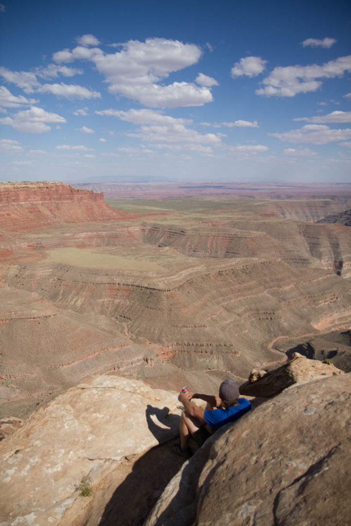
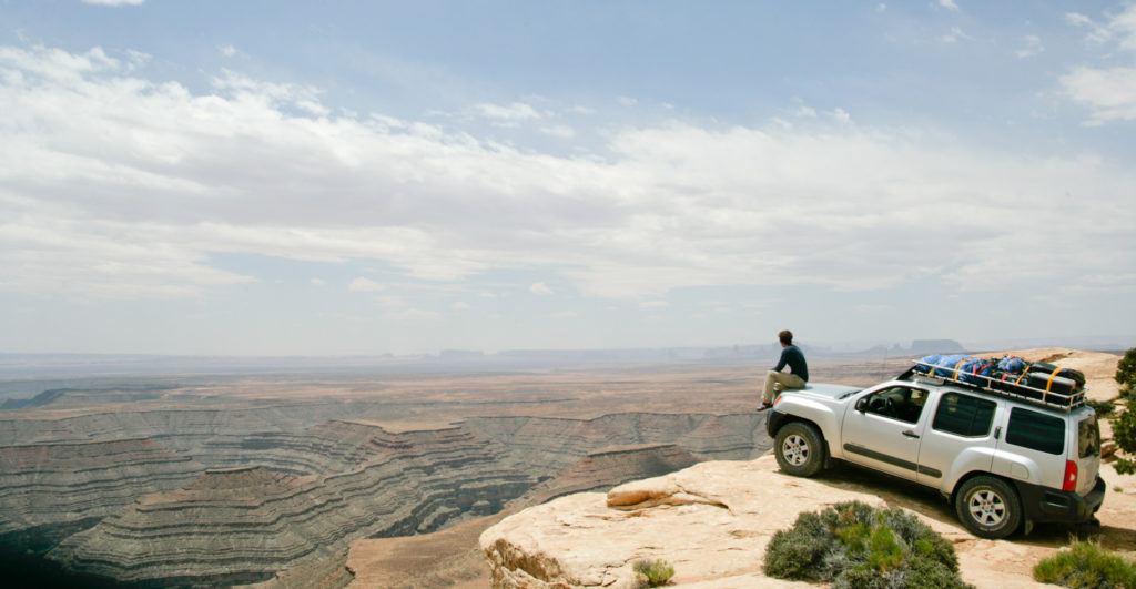
Muley Point is pretty much the best overlook that you will ever be able to look over. You can drive your car right up to the edge. But don’t go too far. It’s 1,100 hundred feet from the overlook to the bottom of the cliffs.
Here is a shaky tour of Mulie Point in I believe Arizona. Enjoy, and I apologize to all that I terrorized this morning. filmed with a DJI 3S
Posted by Craig Copelin on Monday, June 13, 2016
(credit to friend Craig Copelin for this great drone footage from a 2016 trip).
(Credit to friend Gary Parker for this beautiful time-lapse video from the 2016 trip).
Getting There:
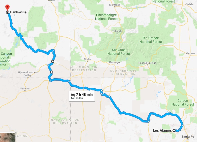
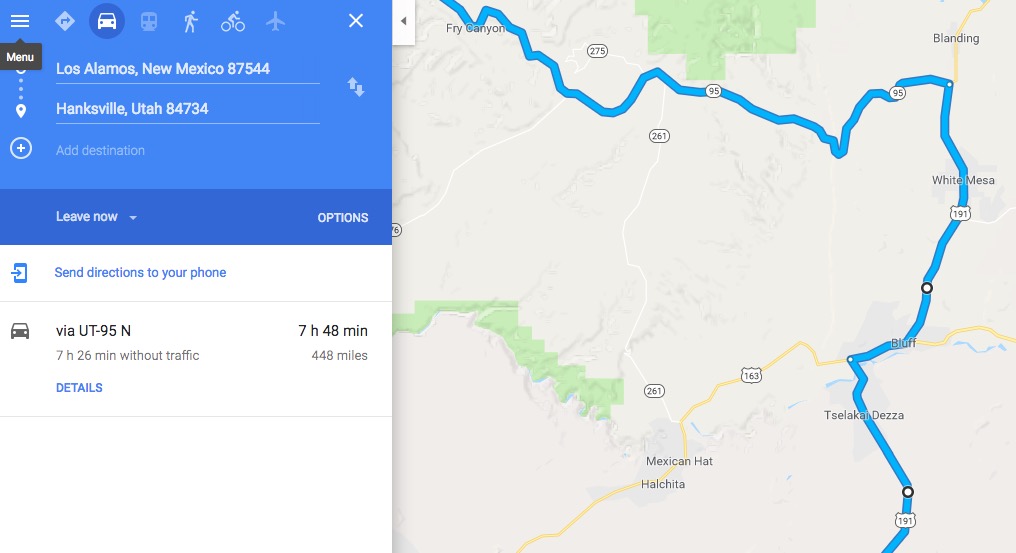
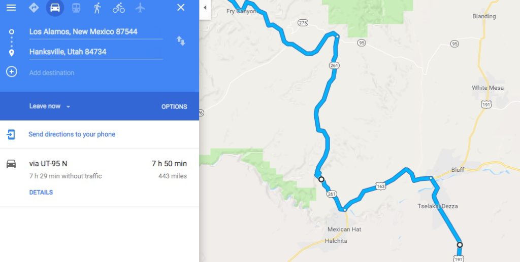
We northern New Mexicans have occasion to visit Muley Point when driving from Los Alamos to the canyons in southern Utah. Cedar Mesa—a vicinity west of Lake Powell and east of Blanding along route 95—serves as our gateway to the great slot-canyoneering. Using Hanksville, UT as a destination, Internet driving directions will advise a route from Teec Nos Pos, AZ to Bluff, UT to Blanding, UT, then west. With only TWO EXTRA MINUTES of driving, you can opt to visit Muley Point instead, as indicated in the screen captures below. To be honest, the way I drive, Muley Point doesn’t actually add any time at all. But, just be sure to make the quick 1 mile detour to Bluff for gas before hitting that long empty stretch of road.
Here are a few more pictures from the mentioned 2016 canyoneering outing with good friends, I believe these are from the return drive, after a successful trip:
Also as mentioned, we stopped by for a single night during our most recent family roadtrip, below are some other images from that visit.
